Earthquake northern Sumatra, Indonesia
Thu, 12 Feb 2026 17:20:57 GMT
Time6 days ago
Location
3.8458, 97.1356
Depth
0.0 KM
Event Summary
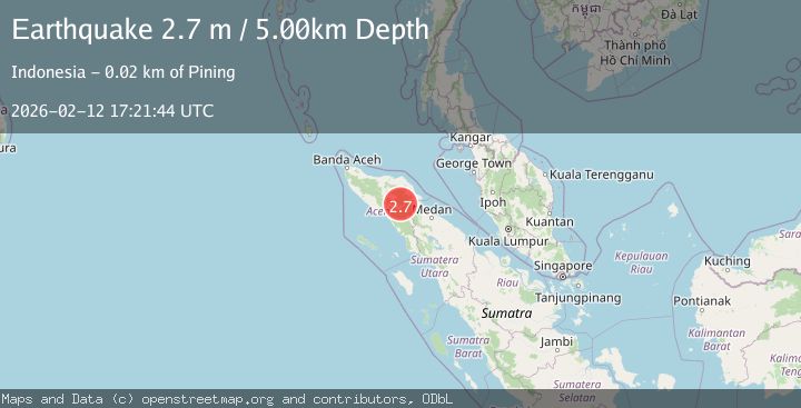
A 2.7 magnitude earthquake struck on northern Sumatra, Indonesia, at Thu, 12 Feb 2026 17:20:57 GMT. Depth: 0km. Reviewed by VYT seismologists, this minor quake occurred at a magnitude type of earthquake.
Magnitude
2.7
earthquake
Source
VYT
Intensity
-
Agency Reports
2 Sources| Source | Magnitude | Depth | Time |
|---|---|---|---|
| VYTPrimary | 2.2 | 0 km | 6 days ago |
| BMKG | 2.7 | 5 km | 6 days ago |
Earthquake Details
AutomaticEvent IDvyt_2h3mhfbiv6ryp
Tsunami PotentialNo
Magnitude Typeearthquake
Nearest Places
- Gunung Bipak Dua2.7 km
- Waih Tangsaran3.4 km
- Gunung Bipak Satu4.9 km
- Gunung Bipak Tiga5.0 km
- Gunung Pawoh5.1 km
Comments
Join the discussion about this event.
Latest Earthquakes
3.8Mag
Tarapaca, Chile
Time4 minutes ago
Depth93.51 km
SourceVYT (Automatic)
2.5Mag
Ceram Sea
Time5 minutes ago
Depth3.27 km
SourceBMKG
2.1Mag
Halmahera, Indonesia
Time8 minutes ago
Depth4.45 km
SourceBMKG
3.4Mag
Talaud Islands, Indonesia
Time12 minutes ago
Depth98.99 km
SourceBMKG
2.1Mag
Flores Region, Indonesia
Time12 minutes ago
Depth165.90 km
SourceBMKG
Nearby Earthquakes
4.0Mag
NORTHERN SUMATRA, INDONESIA
Time6 years ago
Depth10.00 km
SourceDJA (Automatic)
2.3Mag
Northern Sumatra, Indonesia
Time3 hours ago
Depth4.16 km
SourceBMKG
5.8Mag
NORTHERN SUMATRA, INDONESIA
Time9 months ago
Depth90.50 km
SourceEMSC (Automatic)
5.8Mag
NORTHERN SUMATRA, INDONESIA
Time21 years ago
Depth33.00 km
SourceEMSC (Automatic)
5.0Mag
NORTHERN SUMATRA, INDONESIA
Time5 years ago
Depth114.00 km
SourceEMSC (Automatic)