Earthquake West Papua Region, Indonesia
Wed, 18 Feb 2026 19:54:18 GMT
Time1 hour ago
Location
-3.9356, 135.1022
Depth
17.4 KM
Event Summary
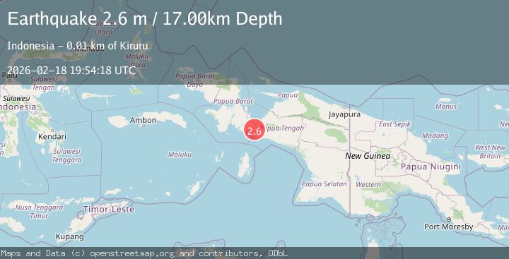
A 2.6 magnitude earthquake struck on West Papua Region, Indonesia, at Wed, 18 Feb 2026 19:54:18 GMT. Depth: 17.35441km. Reviewed by BMKG seismologists, this minor quake occurred at a magnitude type of M.
Magnitude
2.6
M
Source
BMKG
Intensity
-
Agency Reports
1 Sources| Source | Magnitude | Depth | Time |
|---|---|---|---|
| BMKGPrimary | 2.6 | 17 km | 1 hour ago |
Earthquake Details
ManualEvent IDbmg2026dlfo
Tsunami PotentialNo
Magnitude TypeM
Nearest Places
- Sungai Urema3.0 km
- Aru3.8 km
- Kampung Wigoumakida4.8 km
- Kampung Omba Pamuku6.5 km
- Danau Mutap6.8 km
Comments
Join the discussion about this event.
Latest Earthquakes
2.8Mag
Antofagasta, Chile
Time1 hour ago
Depth0.00 km
SourceVYT (Automatic)
3.3Mag
Near North Coast of West Papua
Time1 hour ago
Depth10.00 km
SourceBMKG
2.5Mag
off the coast of Tarapaca, Chile
Time1 hour ago
Depth0.00 km
SourceVYT (Automatic)
2.6Mag
Sunda Strait, Indonesia
Time1 hour ago
Depth8.74 km
SourceBMKG
2.8Mag
Ceram Sea
Time1 hour ago
Depth5.46 km
SourceBMKG
Nearby Earthquakes
2.9Mag
West Papua Region, Indonesia
Time3 weeks ago
Depth8.13 km
SourceBMKG (Automatic)
4.0Mag
PAPUA, INDONESIA
Time7 years ago
Depth10.00 km
SourceDJA (Automatic)
3.2Mag
PAPUA, INDONESIA
Time1 month ago
Depth12.00 km
SourceBMKG (Automatic)
4.0Mag
PAPUA, INDONESIA
Time7 months ago
Depth11.00 km
SourceBMKG (Automatic)
3.0Mag
PAPUA, INDONESIA
Time1 year ago
Depth26.00 km
SourceBMKG (Automatic)