Earthquake Seram, Indonesia
Wed, 18 Feb 2026 19:56:44 GMT
Time1 hour ago
Location
-3.1631, 129.1639
Depth
11.1 KM
Event Summary
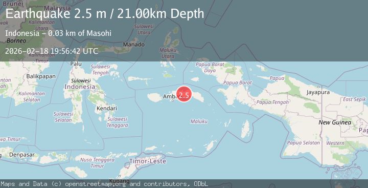
A 2.2 magnitude earthquake struck on Seram, Indonesia, at Wed, 18 Feb 2026 19:56:44 GMT. Depth: 11.123207km. Reviewed by BMKG seismologists, this minor quake occurred at a magnitude type of M.
Magnitude
2.2
M
Source
BMKG
Intensity
-
Agency Reports
1 Sources| Source | Magnitude | Depth | Time |
|---|---|---|---|
| BMKGPrimary | 2.2 | 11 km | 1 hour ago |
Earthquake Details
ManualEvent IDbmg2026dlfq
Tsunami PotentialNo
Magnitude TypeM
Nearest Places
- Kecamatan Amahai6.3 km
- Desa Nuweletetu6.8 km
- Lesluru9.7 km
- Desa Banda Baru11.0 km
- Kelurahan Hollo12.3 km
Comments
Join the discussion about this event.
Latest Earthquakes
2.6Mag
West Papua Region, Indonesia
Time1 hour ago
Depth17.35 km
SourceBMKG
2.8Mag
Antofagasta, Chile
Time1 hour ago
Depth0.00 km
SourceVYT (Automatic)
3.3Mag
Near North Coast of West Papua
Time1 hour ago
Depth10.00 km
SourceBMKG
2.5Mag
off the coast of Tarapaca, Chile
Time1 hour ago
Depth0.00 km
SourceVYT (Automatic)
2.6Mag
Sunda Strait, Indonesia
Time1 hour ago
Depth8.74 km
SourceBMKG
Nearby Earthquakes
5.3Mag
SERAM, INDONESIA
Time19 years ago
Depth20.00 km
SourceEMSC (Automatic)
2.4Mag
Seram, Indonesia
Time4 days ago
Depth10.00 km
SourceBMKG
4.3Mag
Seram, Indonesia
Time1 week ago
Depth10.00 km
SourceBMKG
3.0Mag
SERAM, INDONESIA
Time2 years ago
Depth12.00 km
SourceBMKG (Automatic)
5.3Mag
SERAM, INDONESIA
Time3 years ago
Depth80.00 km
SourceEMSC (Automatic)