Earthquake Northern Sumatra, Indonesia
Wed, 18 Feb 2026 20:37:21 GMT
Time2 hours ago
Location
1.7827, 99.0476
Depth
116.3 KM
Event Summary
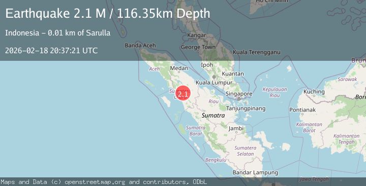
A 2.1 magnitude earthquake struck on Northern Sumatra, Indonesia, at Wed, 18 Feb 2026 20:37:21 GMT. Depth: 116.34848km. Reviewed by BMKG seismologists, this minor quake occurred at a magnitude type of M.
Magnitude
2.1
M
Source
BMKG
Intensity
-
Agency Reports
1 Sources| Source | Magnitude | Depth | Time |
|---|---|---|---|
| BMKGPrimary | 2.1 | 116 km | 2 hours ago |
Earthquake Details
ManualEvent IDbmg2026dlgz
Tsunami PotentialNo
Magnitude TypeM
Nearest Places
- Desa Bonani Dolok1.1 km
- Dolok Sirimbuing1.3 km
- Tor Adian Haraha2.0 km
- Hutasimarpinggan2.3 km
- Desa Sitoluompu2.6 km
Comments
Join the discussion about this event.
Latest Earthquakes
3.4Mag
Antofagasta, Chile
Time1 hour ago
Depth140.87 km
SourceVYT (Automatic)
2.8Mag
San Juan, Argentina
Time2 hours ago
Depth107.54 km
SourceVYT (Automatic)
2.3Mag
Antofagasta, Chile
Time2 hours ago
Depth0.00 km
SourceVYT (Automatic)
1.2Mag
Southern Alaska
Time2 hours ago
Depth75.93 km
SourceVYT (Automatic)
2.2Mag
Southeastern Alaska
Time2 hours ago
Depth0.00 km
SourceVYT (Automatic)
Nearby Earthquakes
2.5Mag
NORTHERN SUMATRA, INDONESIA
Time1 month ago
Depth0.00 km
SourceBMKG (Automatic)
5.0Mag
NORTHERN SUMATRA, INDONESIA
Time14 years ago
Depth30.00 km
SourceEMSC (Automatic)
5.8Mag
NORTHERN SUMATRA, INDONESIA
Time17 years ago
Depth10.00 km
SourceEMSC (Automatic)
2.0Mag
Northern Sumatra, Indonesia
Time1 week ago
Depth5.01 km
SourceBMKG (Automatic)
2.3Mag
Northern Sumatra, Indonesia
Time3 weeks ago
Depth15.30 km
SourceBMKG (Automatic)