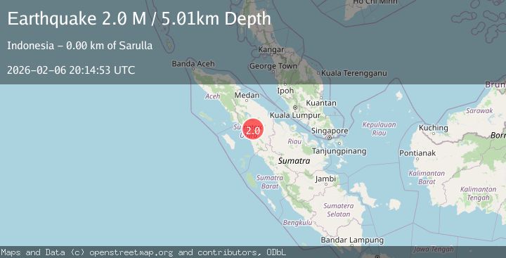
Earthquake Northern Sumatra, Indonesia
Fri, 06 Feb 2026 20:14:53 GMT
Time1 hour ago
Location
1.8173, 99.0905
Depth
5.0 KM
Event Summary
A 2.0 magnitude earthquake struck on Northern Sumatra, Indonesia, at Fri, 06 Feb 2026 20:14:53 GMT. Depth: 5.007km. Reviewed by BMKG seismologists, this minor quake occurred at a magnitude type of M.
Magnitude
2.0
M
Source
BMKG
Intensity
-
Agency Reports
1 Sources| Source | Magnitude | Depth | Time |
|---|---|---|---|
| BMKGPrimary | 2.0 | 5 km | 1 hour ago |
Earthquake Details
AutomaticEvent IDbmg2026cpie
Tsunami PotentialNo
Magnitude TypeM
Nearest Places
- Si Unong-unong0.3 km
- Silangkitang0.4 km
- Hutabagasan0.6 km
- Gunungtua0.9 km
- Hutadangir1.1 km
Comments
Join the discussion about this event.
Latest Earthquakes
5.9Mag
Tanimbar Islands Region, Indonesia
Time16 minutes ago
Depth100.00 km
SourceBMKG (Automatic)
1.2Mag
81 km NNW of Karluk, Alaska
Time19 minutes ago
Depth5.00 km
SourceUSGS (Automatic)
3.0Mag
WESTERN TURKEY
Time22 minutes ago
Depth13.80 km
SourceKOERI (Automatic)
1.7Mag
5 km SE of Mineral, Washington
Time23 minutes ago
Depth20.67 km
SourceUSGS (Automatic)
2.0Mag
5 km E of La Parguera, Puerto Rico
Time24 minutes ago
Depth14.27 km
SourceUSGS
Nearby Earthquakes
2.3Mag
Northern Sumatra, Indonesia
Time1 week ago
Depth15.30 km
SourceBMKG (Automatic)
2.4Mag
Northern Sumatra, Indonesia
Time2 weeks ago
Depth2.17 km
SourceBMKG (Automatic)
2.2Mag
Northern Sumatra, Indonesia
Time5 days ago
Depth99.84 km
SourceBMKG (Automatic)
2.2Mag
Northern Sumatra, Indonesia
Time2 days ago
Depth24.31 km
SourceBMKG (Automatic)
2.6Mag
Northern Sumatra, Indonesia
Time1 day ago
Depth138.44 km
SourceBMKG (Automatic)