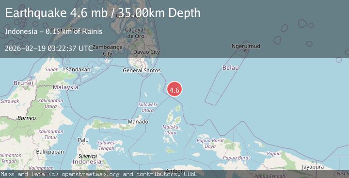
Earthquake North of Halmahera, Indonesia
Thu, 19 Feb 2026 03:22:36 GMT
Time1 hour ago
Location
4.0063, 128.4200
Depth
14.7 KM
Event Summary
A 3.9 magnitude earthquake struck on North of Halmahera, Indonesia, at Thu, 19 Feb 2026 03:22:36 GMT. Depth: 14.712833km. Reviewed by BMKG seismologists, this minor quake occurred at a magnitude type of M.
Magnitude
3.9
M
Source
BMKG
Intensity
-
Agency Reports
1 Sources| Source | Magnitude | Depth | Time |
|---|---|---|---|
| BMKGPrimary | 3.9 | 15 km | 1 hour ago |
Earthquake Details
ManualEvent IDbmg2026dlui
Tsunami PotentialNo
Magnitude TypeM
Nearest Places
- Snellius Ridge46.6 km
- Talaud Trough111.3 km
- Morotai Basin121.2 km
- Pulau Karis128.8 km
- Tanjung Sopi152.4 km
Comments
Join the discussion about this event.
Latest Earthquakes
2.4Mag
Central Alaska
Time1 hour ago
Depth0.24 km
SourceVYT (Automatic)
2.9Mag
Sumbawa Region, Indonesia
Time1 hour ago
Depth53.96 km
SourceBMKG
0.8Mag
Southern Alaska
Time1 hour ago
Depth15.50 km
SourceVYT (Automatic)
3.3Mag
Banda Sea
Time1 hour ago
Depth161.74 km
SourceVYT (Automatic)
4.4Mag
North of Halmahera, Indonesia
Time1 hour ago
Depth30.29 km
SourceBMKG
Nearby Earthquakes
4.4Mag
North of Halmahera, Indonesia
Time1 hour ago
Depth30.29 km
SourceBMKG
3.7Mag
NORTH OF HALMAHERA, INDONESIA
Time5 days ago
Depth120.00 km
SourceBMKG (Automatic)
4.0Mag
North of Halmahera, Indonesia
Time4 days ago
Depth109.56 km
SourceBMKG
5.2Mag
NORTH OF HALMAHERA, INDONESIA
Time1 year ago
Depth53.00 km
SourceEMSC (Automatic)
3.8Mag
north of Halmahera, Indonesia
Time3 days ago
Depth10.00 km
SourceVYT (Automatic)