Earthquake NORTH OF HALMAHERA, INDONESIA
Sat, 24 Feb 2024 00:51:27 GMT
Time1 year ago
Location
3.9688, 128.5690
Depth
53.0 KM
Event Summary
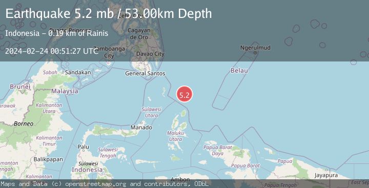
A 5.2 magnitude earthquake struck on NORTH OF HALMAHERA, INDONESIA, at Sat, 24 Feb 2024 00:51:27 GMT. Depth: 53km. Reviewed by EMSC seismologists, this moderate quake occurred at a magnitude type of mb.
Magnitude
5.2
mb
Source
EMSC
Intensity
-
Agency Reports
1 Sources| Source | Magnitude | Depth | Time |
|---|---|---|---|
| EMSCPrimary | 5.2 | 53 km | 1 year ago |
Earthquake Details
AutomaticEvent IDemsc_EMSC_20240224_0000013
Tsunami PotentialNo
Magnitude Typemb
Nearest Places
- Snellius Ridge63.2 km
- Morotai Basin124.9 km
- Talaud Trough127.9 km
- Pulau Karis140.0 km
- Tanjung Sopi147.4 km
Comments
Join the discussion about this event.
Latest Earthquakes
3.4Mag
NORTH ISLAND OF NEW ZEALAND
Time9 minutes ago
Depth146.90 km
SourceGNS (Automatic)
2.6Mag
WESTERN TURKEY
Time15 minutes ago
Depth7.30 km
SourceKOERI (Automatic)
3.7Mag
YUNNAN, CHINA
Time16 minutes ago
Depth10.00 km
SourceTSB (Automatic)
2.8Mag
WESTERN AUSTRALIA
Time18 minutes ago
Depth10.00 km
SourceAUST (Automatic)
1.5Mag
Southern California
Time18 minutes ago
Depth18.43 km
SourceVYT (Automatic)
Nearby Earthquakes
5.5Mag
NORTH OF HALMAHERA, INDONESIA
Time4 years ago
Depth61.00 km
SourceEMSC (Automatic)
4.6Mag
North of Halmahera, Indonesia
Time2 hours ago
Depth14.71 km
SourceBMKG
5.1Mag
NORTH OF HALMAHERA, INDONESIA
Time4 years ago
Depth10.00 km
SourceEMSC (Automatic)
4.4Mag
North of Halmahera, Indonesia
Time2 hours ago
Depth30.29 km
SourceBMKG
3.7Mag
NORTH OF HALMAHERA, INDONESIA
Time5 days ago
Depth120.00 km
SourceBMKG (Automatic)