Earthquake Halmahera, Indonesia
Thu, 19 Feb 2026 08:51:18 GMT
Time1 hour ago
Location
-0.6780, 129.9028
Depth
18.8 KM
Event Summary
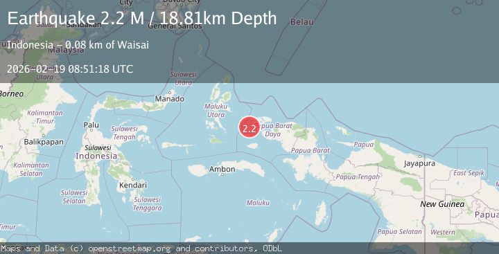
A 2.2 magnitude earthquake struck on Halmahera, Indonesia, at Thu, 19 Feb 2026 08:51:18 GMT. Depth: 18.80686km. Reviewed by BMKG seismologists, this minor quake occurred at a magnitude type of M.
Magnitude
2.2
M
Source
BMKG
Intensity
-
Agency Reports
1 Sources| Source | Magnitude | Depth | Time |
|---|---|---|---|
| BMKGPrimary | 2.2 | 19 km | 1 hour ago |
Earthquake Details
ManualEvent IDbmg2026dmfe
Tsunami PotentialNo
Magnitude TypeM
Nearest Places
- Pulau Mios16.3 km
- Pulau Miosga17.9 km
- Gosong Nelayan19.7 km
- Pulau-pulau Jefdoif20.3 km
- Tanjung Pauapu21.1 km
Comments
Join the discussion about this event.
Latest Earthquakes
1.4Mag
Central Alaska
Time1 hour ago
Depth17.82 km
SourceVYT (Automatic)
2.2Mag
SAN FRANCISCO BAY AREA, CALIF.
Time1 hour ago
Depth6.70 km
SourceNC (Automatic)
1.9Mag
western Texas
Time1 hour ago
Depth0.00 km
SourceVYT (Automatic)
1.9Mag
Tarapaca, Chile
Time1 hour ago
Depth71.29 km
SourceVYT (Automatic)
1.6Mag
western Texas
Time1 hour ago
Depth0.24 km
SourceVYT (Automatic)
Nearby Earthquakes
2.5Mag
Halmahera, Indonesia
Time2 weeks ago
Depth17.76 km
SourceBMKG (Automatic)
2.8Mag
Halmahera, Indonesia
Time3 weeks ago
Depth20.95 km
SourceBMKG (Automatic)
2.2Mag
West Papua Region, Indonesia
Time2 weeks ago
Depth12.11 km
SourceBMKG (Automatic)
2.7Mag
Halmahera, Indonesia
Time2 weeks ago
Depth10.00 km
SourceBMKG (Automatic)
4.0Mag
HALMAHERA, INDONESIA
Time1 year ago
Depth10.00 km
SourceBMKG (Automatic)