Earthquake Southern Sumatra, Indonesia
Thu, 19 Feb 2026 12:09:10 GMT
Time1 hour ago
Location
-5.5010, 104.5969
Depth
22.2 KM
Event Summary
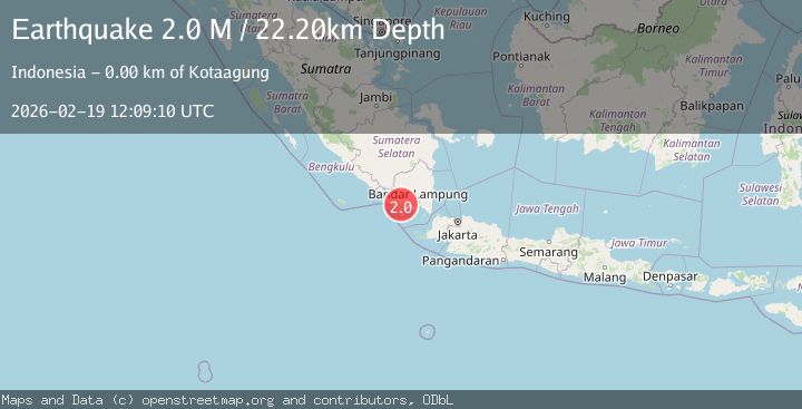
A 2.0 magnitude earthquake struck on Southern Sumatra, Indonesia, at Thu, 19 Feb 2026 12:09:10 GMT. Depth: 22.203939km. Reviewed by BMKG seismologists, this minor quake occurred at a magnitude type of M.
Magnitude
2.0
M
Source
BMKG
Intensity
-
Agency Reports
1 Sources| Source | Magnitude | Depth | Time |
|---|---|---|---|
| BMKGPrimary | 2.0 | 22 km | 1 hour ago |
Earthquake Details
ManualEvent IDbmg2026dmls
Tsunami PotentialNo
Magnitude TypeM
Nearest Places
- Desa Tala Gening1.1 km
- Rawarejo1.2 km
- Wai Belu1.4 km
- Wai Maja1.4 km
- Desa Kota Batu1.5 km
Comments
Join the discussion about this event.
Latest Earthquakes
1.6Mag
Alaska Peninsula
Time1 hour ago
Depth15.63 km
SourceVYT (Automatic)
2.2Mag
FRANCE
Time1 hour ago
Depth5.00 km
SourceReNaSS (Automatic)
3.5Mag
Fox Islands, Aleutian Islands, Alaska
Time1 hour ago
Depth72.63 km
SourceVYT (Automatic)
2.9Mag
STRAIT OF GIBRALTAR
Time1 hour ago
Depth58.80 km
SourceIGN (Automatic)
1.8Mag
Kodiak Island region, Alaska
Time1 hour ago
Depth208.13 km
SourceVYT (Automatic)
Nearby Earthquakes
2.8Mag
SOUTHERN SUMATRA, INDONESIA
Time1 month ago
Depth6.00 km
SourceBMKG (Automatic)
5.1Mag
SOUTHERN SUMATRA, INDONESIA
Time3 years ago
Depth114.00 km
SourceEMSC (Automatic)
3.0Mag
SOUTHERN SUMATRA, INDONESIA
Time4 years ago
Depth10.00 km
SourceDJA (Automatic)
3.3Mag
southern Sumatra, Indonesia
Time5 days ago
Depth22.09 km
SourceVYT (Automatic)
3.0Mag
SOUTHERN SUMATRA, INDONESIA
Time4 years ago
Depth10.00 km
SourceDJA (Automatic)