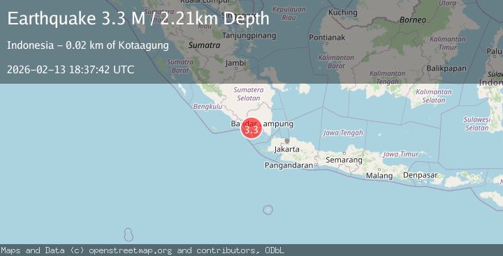
Earthquake southern Sumatra, Indonesia
Fri, 13 Feb 2026 18:36:08 GMT
Time5 days ago
Location
-5.4095, 104.5638
Depth
22.1 KM
Event Summary
A 3.3 magnitude earthquake struck on southern Sumatra, Indonesia, at Fri, 13 Feb 2026 18:36:08 GMT. Depth: 22.0947265625km. Reviewed by VYT seismologists, this minor quake occurred at a magnitude type of earthquake.
Magnitude
3.3
earthquake
Source
VYT
Intensity
-
Agency Reports
2 Sources| Source | Magnitude | Depth | Time |
|---|---|---|---|
| VYTPrimary | 2.8 | 22 km | 5 days ago |
| BMKG | 3.3 | 2 km | 5 days ago |
Earthquake Details
AutomaticEvent IDvyt_25bb62pka2at
Tsunami PotentialNo
Magnitude Typeearthquake
Nearest Places
- Desa Way Panas0.8 km
- Gunung Way Panas1.3 km
- Wai Napalgilih1.7 km
- Wai Panas2.0 km
- Wai Kukusan2.3 km
Comments
Join the discussion about this event.
Latest Earthquakes
1.5Mag
Southern California
Time4 hours ago
Depth18.43 km
SourceVYT (Automatic)
3.4Mag
south of Alaska
Time4 hours ago
Depth10.00 km
SourceVYT (Automatic)
3.1Mag
Southern California
Time4 hours ago
Depth16.97 km
SourceVYT (Automatic)
2.1Mag
Southern Alaska
Time4 hours ago
Depth71.53 km
SourceVYT (Automatic)
1.5Mag
Southern California
Time4 hours ago
Depth13.67 km
SourceVYT (Automatic)
Nearby Earthquakes
5.1Mag
SOUTHERN SUMATRA, INDONESIA
Time3 years ago
Depth114.00 km
SourceEMSC (Automatic)
2.2Mag
Southern Sumatra, Indonesia
Time1 week ago
Depth4.64 km
SourceBMKG (Automatic)
2.5Mag
Southern Sumatra, Indonesia
Time1 week ago
Depth8.27 km
SourceBMKG
2.1Mag
Southern Sumatra, Indonesia
Time2 weeks ago
Depth5.00 km
SourceBMKG (Automatic)
2.0Mag
Southern Sumatra, Indonesia
Time1 week ago
Depth2.61 km
SourceBMKG