Earthquake West Papua Region, Indonesia
Thu, 19 Feb 2026 16:00:14 GMT
Time1 hour ago
Location
-0.7827, 133.6746
Depth
10.0 KM
Event Summary
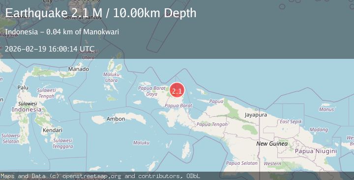
A 2.1 magnitude earthquake struck on West Papua Region, Indonesia, at Thu, 19 Feb 2026 16:00:14 GMT. Depth: 10km. Reviewed by BMKG seismologists, this minor quake occurred at a magnitude type of M.
Magnitude
2.1
M
Source
BMKG
Intensity
-
Agency Reports
1 Sources| Source | Magnitude | Depth | Time |
|---|---|---|---|
| BMKGPrimary | 2.1 | 10 km | 1 hour ago |
Earthquake Details
ManualEvent IDbmg2026dmti
Tsunami PotentialNo
Magnitude TypeM
Nearest Places
- Kampung Aurmios2.0 km
- Kampung Wariori2.6 km
- Kampung Sembab2.6 km
- Moceinos2.8 km
- Kampung Igor3.6 km
Comments
Join the discussion about this event.
Latest Earthquakes
3.6Mag
NORTH ISLAND OF NEW ZEALAND
Time1 hour ago
Depth43.10 km
SourceGNS (Automatic)
2.2Mag
Seram, Indonesia
Time1 hour ago
Depth4.61 km
SourceBMKG
0.7Mag
Southern Alaska
Time1 hour ago
Depth0.00 km
SourceVYT (Automatic)
1.4Mag
8 km N of Rancho Cucamonga, CA
Time1 hour ago
Depth3.48 km
SourceUSGS (Automatic)
2.7Mag
COQUIMBO, CHILE
Time1 hour ago
Depth47.60 km
SourceCSN (Automatic)
Nearby Earthquakes
3.0Mag
NEAR N COAST OF PAPUA, INDONESIA
Time4 years ago
Depth10.00 km
SourceDJA (Automatic)
3.0Mag
NEAR N COAST OF PAPUA, INDONESIA
Time11 months ago
Depth15.00 km
SourceBMKG (Automatic)
3.1Mag
NEAR N COAST OF PAPUA, INDONESIA
Time1 month ago
Depth9.00 km
SourceBMKG (Automatic)
5.0Mag
NEAR N COAST OF PAPUA, INDONESIA
Time17 years ago
Depth10.00 km
SourceEMSC (Automatic)
5.3Mag
NEAR N COAST OF PAPUA, INDONESIA
Time17 years ago
Depth21.00 km
SourceEMSC (Automatic)