Earthquake West Papua Region, Indonesia
Sat, 24 Jan 2026 12:03:07 GMT
Time3 days ago
Location
-1.9043, 133.1839
Depth
14.0 KM
Event Summary
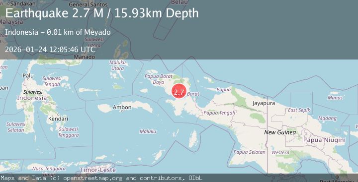
A 2.7 magnitude earthquake struck on West Papua Region, Indonesia, at Sat, 24 Jan 2026 12:03:07 GMT. Depth: 14.001767km. Reviewed by BMKG seismologists, this minor quake occurred at a magnitude type of M.
Magnitude
2.7
M
Source
BMKG
Intensity
-
Agency Reports
1 Sources| Source | Magnitude | Depth | Time |
|---|---|---|---|
| BMKGPrimary | 2.7 | 16 km | 3 days ago |
Earthquake Details
AutomaticEvent IDbmg2026bqyl
Tsunami PotentialNo
Magnitude TypeM
Nearest Places
- Kampung Meyado2.9 km
- Meyado3.5 km
- Bangunmulyo6.0 km
- Vascodamneem6.6 km
- Usomoho7.2 km
Comments
Join the discussion about this event.
Latest Earthquakes
3.8Mag
EASTERN TURKEY
Time7 minutes ago
Depth0.00 km
SourceKOERI (Automatic)
2.7Mag
West Papua Region, Indonesia
Time10 minutes ago
Depth14.59 km
SourceBMKG (Automatic)
2.1Mag
Flores Region, Indonesia
Time13 minutes ago
Depth10.00 km
SourceBMKG (Automatic)
3.7Mag
LA RIOJA, ARGENTINA
Time20 minutes ago
Depth119.00 km
SourceNSNA (Automatic)
2.2Mag
Savu Sea
Time22 minutes ago
Depth56.18 km
SourceBMKG (Automatic)
Nearby Earthquakes
2.1Mag
West Papua Region, Indonesia
Time5 days ago
Depth38.83 km
SourceBMKG (Automatic)
2.4Mag
West Papua Region, Indonesia
Time1 day ago
Depth10.00 km
SourceBMKG (Automatic)
3.3Mag
West Papua Region, Indonesia
Time5 days ago
Depth10.00 km
SourceBMKG (Automatic)
2.1Mag
West Papua Region, Indonesia
Time3 days ago
Depth14.74 km
SourceBMKG (Automatic)
2.5Mag
West Papua Region, Indonesia
Time4 days ago
Depth12.18 km
SourceBMKG (Automatic)