Earthquake Northern Sumatra, Indonesia
Fri, 20 Feb 2026 05:31:17 GMT
Time2 hours ago
Location
4.1212, 97.4444
Depth
5.0 KM
Event Summary
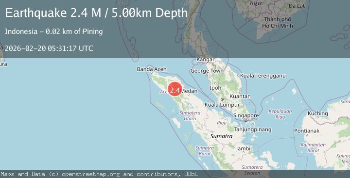
A 2.4 magnitude earthquake struck on Northern Sumatra, Indonesia, at Fri, 20 Feb 2026 05:31:17 GMT. Depth: 5km. Reviewed by BMKG seismologists, this minor quake occurred at a magnitude type of M.
Magnitude
2.4
M
Source
BMKG
Intensity
-
Agency Reports
1 Sources| Source | Magnitude | Depth | Time |
|---|---|---|---|
| BMKGPrimary | 2.4 | 5 km | 2 hours ago |
Earthquake Details
ManualEvent IDbmg2026dnuc
Tsunami PotentialNo
Magnitude TypeM
Nearest Places
- Gampong Gajah2.6 km
- Burni Apitan4.2 km
- Burni Siluman4.5 km
- Waih Gajah4.5 km
- Gunung Aber5.9 km
Comments
Join the discussion about this event.
Latest Earthquakes
2.4Mag
Central Alaska
Time2 hours ago
Depth84.11 km
SourceVYT (Automatic)
2.3Mag
Dead Sea region
Time2 hours ago
Depth0.98 km
SourceVYT (Automatic)
2.7Mag
Andreanof Islands, Aleutian Islands, Alaska
Time2 hours ago
Depth3.05 km
SourceVYT (Automatic)
1.3Mag
WESTERN TURKEY
Time3 hours ago
Depth7.00 km
SourceAFAD (Automatic)
2.2Mag
Sumbawa Region, Indonesia
Time3 hours ago
Depth10.00 km
SourceBMKG
Nearby Earthquakes
2.9Mag
NORTHERN SUMATRA, INDONESIA
Time1 month ago
Depth3.00 km
SourceBMKG (Automatic)
3.4Mag
Northern Sumatra, Indonesia
Time2 weeks ago
Depth3.00 km
SourceBMKG (Automatic)
2.3Mag
Northern Sumatra, Indonesia
Time2 weeks ago
Depth5.00 km
SourceBMKG (Automatic)
2.6Mag
NORTHERN SUMATRA, INDONESIA
Time1 month ago
Depth3.00 km
SourceBMKG (Automatic)
4.1Mag
NORTHERN SUMATRA, INDONESIA
Time1 month ago
Depth10.00 km
SourceBMKG (Automatic)