Earthquake Northern Sumatra, Indonesia
Sat, 31 Jan 2026 07:11:13 GMT
Time4 hours ago
Location
4.1313, 97.3635
Depth
10.0 KM
Event Summary
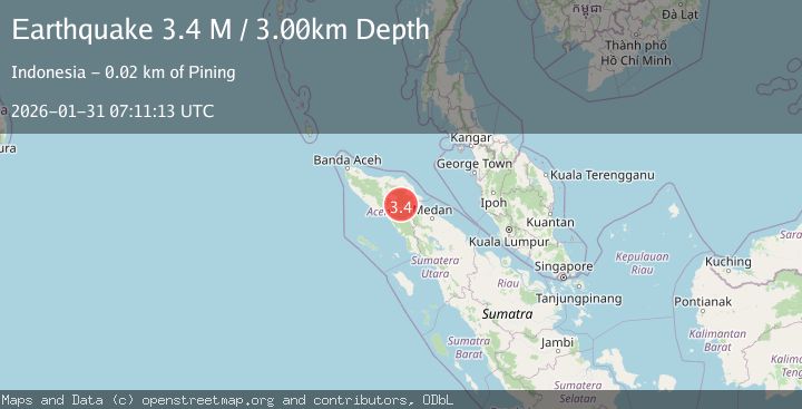
A 3.3 magnitude earthquake struck on Northern Sumatra, Indonesia, at Sat, 31 Jan 2026 07:11:13 GMT. Depth: 10km. Reviewed by BMKG seismologists, this minor quake occurred at a magnitude type of M.
Magnitude
3.3
M
Source
BMKG
Intensity
-
Agency Reports
1 Sources| Source | Magnitude | Depth | Time |
|---|---|---|---|
| BMKGPrimary | 3.3 | 10 km | 4 hours ago |
Earthquake Details
AutomaticEvent IDbmg2026cdji
Tsunami PotentialNo
Magnitude TypeM
Nearest Places
- Gampong Pinang Rugub0.3 km
- Burni Gentingines1.7 km
- Burni Kacang Minyak2.0 km
- Burni Gajah3.7 km
- Van Daalen Mountains4.5 km
Comments
Join the discussion about this event.
Latest Earthquakes
2.2Mag
Java, Indonesia
Time4 hours ago
Depth9.87 km
SourceBMKG (Automatic)
4.0Mag
Borneo
Time4 hours ago
Depth15.30 km
SourceBMKG (Automatic)
2.5Mag
NICARAGUA
Time5 hours ago
Depth3.00 km
SourceINET (Automatic)
1.3Mag
17 km ESE of Anza, CA
Time5 hours ago
Depth11.69 km
SourceUSGS (Automatic)
3.0Mag
CENTRAL ALASKA
Time5 hours ago
Depth88.60 km
SourceAK (Automatic)
Nearby Earthquakes
2.2Mag
Northern Sumatra, Indonesia
Time1 week ago
Depth2.00 km
SourceBMKG (Automatic)
2.7Mag
Northern Sumatra, Indonesia
Time4 days ago
Depth0.60 km
SourceBMKG (Automatic)
2.6Mag
Northern Sumatra, Indonesia
Time1 day ago
Depth5.00 km
SourceBMKG (Automatic)
2.4Mag
Northern Sumatra, Indonesia
Time6 days ago
Depth5.00 km
SourceBMKG (Automatic)
2.2Mag
Northern Sumatra, Indonesia
Time1 day ago
Depth10.00 km
SourceBMKG (Automatic)