Earthquake Near North Coast of West Papua
Thu, 29 Jan 2026 03:51:03 GMT
Time2 hours ago
Location
-2.3392, 140.0431
Depth
18.6 KM
Event Summary
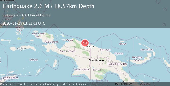
A 2.6 magnitude earthquake struck on Near North Coast of West Papua, at Thu, 29 Jan 2026 03:51:03 GMT. Depth: 18.568218km. Reviewed by BMKG seismologists, this minor quake occurred at a magnitude type of M.
Magnitude
2.6
M
Source
BMKG
Intensity
-
Agency Reports
1 Sources| Source | Magnitude | Depth | Time |
|---|---|---|---|
| BMKGPrimary | 2.6 | 19 km | 2 hours ago |
Earthquake Details
AutomaticEvent IDbmg2026bzls
Tsunami PotentialNo
Magnitude TypeM
Nearest Places
- Moaif1.4 km
- Sungai Grime2.5 km
- Sungai Moaif3.1 km
- Wai Humbei4.6 km
- Sungai Sermo5.4 km
Comments
Join the discussion about this event.
Latest Earthquakes
2.0Mag
15 km WSW of Petrolia, CA
Time2 hours ago
Depth18.24 km
SourceUSGS (Automatic)
2.4Mag
Sumba Region, Indonesia
Time2 hours ago
Depth24.15 km
SourceBMKG (Automatic)
2.5Mag
36 km SSE of Livengood, Alaska
Time2 hours ago
Depth1.60 km
SourceUSGS (Automatic)
1.3Mag
11 km ENE of Ridgecrest, CA
Time2 hours ago
Depth3.18 km
SourceUSGS (Automatic)
3.5Mag
NEAR COAST OF NICARAGUA
Time2 hours ago
Depth23.00 km
SourceINET (Automatic)
Nearby Earthquakes
2.2Mag
Near North Coast of West Papua
Time1 day ago
Depth4.12 km
SourceBMKG (Automatic)
2.4Mag
Near North Coast of West Papua
Time1 week ago
Depth18.12 km
SourceBMKG (Automatic)
2.2Mag
Near North Coast of West Papua
Time5 days ago
Depth10.00 km
SourceBMKG (Automatic)
2.6Mag
Near North Coast of West Papua
Time1 week ago
Depth10.00 km
SourceBMKG (Automatic)
2.1Mag
Near North Coast of West Papua
Time3 days ago
Depth10.56 km
SourceBMKG (Automatic)