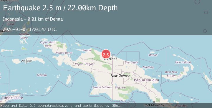
Earthquake NEAR N COAST OF PAPUA, INDONESIA
Mon, 05 Jan 2026 17:01:47 GMT
Time1 month ago
Location
-2.3300, 140.0400
Depth
22.0 KM
Event Summary
A 2.5 magnitude earthquake struck on NEAR N COAST OF PAPUA, INDONESIA, at Mon, 05 Jan 2026 17:01:47 GMT. Depth: 22km. Reviewed by BMKG seismologists, this minor quake occurred at a magnitude type of m.
Magnitude
2.5
m
Source
BMKG
Intensity
-
Agency Reports
1 Sources| Source | Magnitude | Depth | Time |
|---|---|---|---|
| BMKGPrimary | 2.5 | 22 km | 1 month ago |
Earthquake Details
AutomaticEvent IDemsc_BMKG_20260105_0000249
Tsunami PotentialNo
Magnitude Typem
Nearest Places
- Moaif2.5 km
- Sungai Grime3.4 km
- Sungai Moaif4.1 km
- Wai Humbei5.3 km
- Sungai Sermo5.7 km
Comments
Join the discussion about this event.
Latest Earthquakes
1.7Mag
Alaska Peninsula
Time3 minutes ago
Depth0.00 km
SourceVYT (Automatic)
1.4Mag
Kenai Peninsula, Alaska
Time6 minutes ago
Depth1.95 km
SourceVYT (Automatic)
3.1Mag
Northern Sumatra, Indonesia
Time7 minutes ago
Depth14.69 km
SourceBMKG
1.9Mag
Channel Islands region, California
Time7 minutes ago
Depth2.81 km
SourceVYT (Automatic)
3.3Mag
Southern Alaska
Time14 minutes ago
Depth13.06 km
SourceVYT (Automatic)
Nearby Earthquakes
2.6Mag
Near North Coast of West Papua
Time3 weeks ago
Depth18.57 km
SourceBMKG (Automatic)
3.0Mag
NEAR N COAST OF PAPUA, INDONESIA
Time5 years ago
Depth10.00 km
SourceDJA (Automatic)
3.0Mag
NEAR N COAST OF PAPUA, INDONESIA
Time5 months ago
Depth17.00 km
SourceBMKG (Automatic)
3.0Mag
NEAR N COAST OF PAPUA, INDONESIA
Time1 year ago
Depth10.00 km
SourceBMKG (Automatic)
3.0Mag
NEAR N COAST OF PAPUA, INDONESIA
Time2 years ago
Depth12.00 km
SourceBMKG (Automatic)