Earthquake Near North Coast of West Papua
Sat, 21 Feb 2026 17:28:41 GMT
Time1 hour ago
Location
-2.4011, 140.5177
Depth
10.0 KM
Event Summary
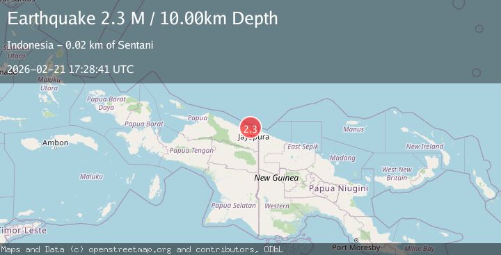
A 2.3 magnitude earthquake struck on Near North Coast of West Papua, at Sat, 21 Feb 2026 17:28:41 GMT. Depth: 10km. Reviewed by BMKG seismologists, this minor quake occurred at a magnitude type of M.
Magnitude
2.3
M
Source
BMKG
Intensity
-
Agency Reports
1 Sources| Source | Magnitude | Depth | Time |
|---|---|---|---|
| BMKGPrimary | 2.3 | 10 km | 1 hour ago |
Earthquake Details
ManualEvent IDbmg2026dqng
Tsunami PotentialNo
Magnitude TypeM
Nearest Places
- 5.2 km
- 6.5 km
- 7.5 km
- 8.1 km
- 8.4 km
Comments
Join the discussion about this event.
Latest Earthquakes
2.3Mag
Antofagasta, Chile
Time1 hour ago
Depth11.60 km
SourceVYT (Automatic)
1.4Mag
5 km NNW of The Geysers, CA
Time1 hour ago
Depth1.33 km
SourceUSGS (Automatic)
2.6Mag
Hungary
Time1 hour ago
Depth1.95 km
SourceVYT (Automatic)
2.2Mag
6 km W of Cobb, CA
Time1 hour ago
Depth1.14 km
SourceUSGS (Automatic)
2.9Mag
West Papua, Indonesia
Time1 hour ago
Depth10.00 km
SourceBMKG
Nearby Earthquakes
3.0Mag
NEAR N COAST OF PAPUA, INDONESIA
Time5 years ago
Depth25.00 km
SourceDJA (Automatic)
2.8Mag
Near North Coast of West Papua
Time1 month ago
Depth10.00 km
SourceBMKG (Automatic)
3.0Mag
NEAR N COAST OF PAPUA, INDONESIA
Time0 years ago
Depth10.00 km
SourceBMKG (Automatic)
2.7Mag
Near North Coast of West Papua
Time1 week ago
Depth8.49 km
SourceBMKG (Automatic)
3.0Mag
NEAR N COAST OF PAPUA, INDONESIA
Time2 years ago
Depth17.00 km
SourceDJA (Automatic)