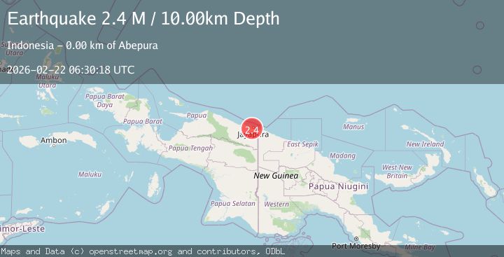
Earthquake Near North Coast of West Papua
Sun, 22 Feb 2026 06:30:17 GMT
Time1 hour ago
Location
-2.5856, 140.6324
Depth
10.7 KM
Event Summary
A 2.2 magnitude earthquake struck on Near North Coast of West Papua, at Sun, 22 Feb 2026 06:30:17 GMT. Depth: 10.682449km. Reviewed by BMKG seismologists, this minor quake occurred at a magnitude type of M.
Magnitude
2.2
M
Source
BMKG
Intensity
-
Agency Reports
1 Sources| Source | Magnitude | Depth | Time |
|---|---|---|---|
| BMKGPrimary | 2.2 | 11 km | 1 hour ago |
Earthquake Details
ManualEvent IDbmg2026drna
Tsunami PotentialNo
Magnitude TypeM
Nearest Places
- 0.5 km
- 0.8 km
- 1.2 km
- 2.0 km
- 2.1 km
Comments
Join the discussion about this event.
Latest Earthquakes
1.3Mag
Southern California
Time1 hour ago
Depth0.00 km
SourceVYT (Automatic)
2.5Mag
Java, Indonesia
Time1 hour ago
Depth44.76 km
SourceBMKG
2.3Mag
NORTHERN CALIFORNIA
Time1 hour ago
Depth2.70 km
SourceNC (Automatic)
1.6Mag
western Texas
Time1 hour ago
Depth3.05 km
SourceVYT (Automatic)
1.0Mag
2 km ENE of The Geysers, CA
Time1 hour ago
Depth0.09 km
SourceUSGS (Automatic)
Nearby Earthquakes
2.2Mag
Near North Coast of West Papua
Time0 months ago
Depth30.05 km
SourceBMKG (Automatic)
4.7Mag
Near North Coast of West Papua
Time6 days ago
Depth5.82 km
SourceBMKG
3.0Mag
NEAR N COAST OF PAPUA, INDONESIA
Time2 years ago
Depth10.00 km
SourceBMKG (Automatic)
4.0Mag
NEAR N COAST OF PAPUA, INDONESIA
Time3 years ago
Depth10.00 km
SourceDJA (Automatic)
5.1Mag
NEAR N COAST OF PAPUA, INDONESIA
Time3 years ago
Depth10.00 km
SourceEMSC (Automatic)