Earthquake Near North Coast of West Papua
Fri, 23 Jan 2026 20:06:40 GMT
Time3 days ago
Location
-2.5937, 140.6228
Depth
30.1 KM
Event Summary
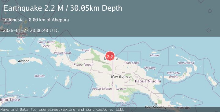
A 2.2 magnitude earthquake struck on Near North Coast of West Papua, at Fri, 23 Jan 2026 20:06:40 GMT. Depth: 30.050142km. Reviewed by BMKG seismologists, this minor quake occurred at a magnitude type of M.
Magnitude
2.2
M
Source
BMKG
Intensity
-
Agency Reports
1 Sources| Source | Magnitude | Depth | Time |
|---|---|---|---|
| BMKGPrimary | 2.2 | 30 km | 3 days ago |
Earthquake Details
AutomaticEvent IDbmg2026bpsw
Tsunami PotentialNo
Magnitude TypeM
Nearest Places
- Kelurahan Waena0.9 km
- Abepura1.1 km
- Kampung Waena1.4 km
- Distrik Heram1.7 km
- Kampung Yoka2.5 km
Comments
Join the discussion about this event.
Latest Earthquakes
2.4Mag
EASTERN TURKEY
Time11 minutes ago
Depth4.30 km
SourceKOERI (Automatic)
0.2Mag
6 km WNW of Cobb, CA
Time14 minutes ago
Depth1.56 km
SourceUSGS (Automatic)
1.6Mag
10 km SW of Furnace Creek, California
Time14 minutes ago
Depth7.46 km
SourceUSGS (Automatic)
1.4Mag
17 km NNE of Indio, CA
Time17 minutes ago
Depth3.80 km
SourceUSGS (Automatic)
2.9Mag
Sumbawa Region, Indonesia
Time21 minutes ago
Depth86.58 km
SourceBMKG (Automatic)
Nearby Earthquakes
2.3Mag
Near North Coast of West Papua
Time4 days ago
Depth10.00 km
SourceBMKG (Automatic)
2.5Mag
Near North Coast of West Papua
Time23 hours ago
Depth10.00 km
SourceBMKG (Automatic)
2.8Mag
Near North Coast of West Papua
Time4 days ago
Depth10.00 km
SourceBMKG (Automatic)
2.1Mag
Near North Coast of West Papua
Time1 day ago
Depth10.56 km
SourceBMKG (Automatic)
2.8Mag
Near North Coast of West Papua
Time2 days ago
Depth12.25 km
SourceBMKG (Automatic)