Earthquake West Papua Region, Indonesia
Sun, 22 Feb 2026 09:00:52 GMT
Time1 hour ago
Location
-1.7495, 133.8066
Depth
10.0 KM
Event Summary
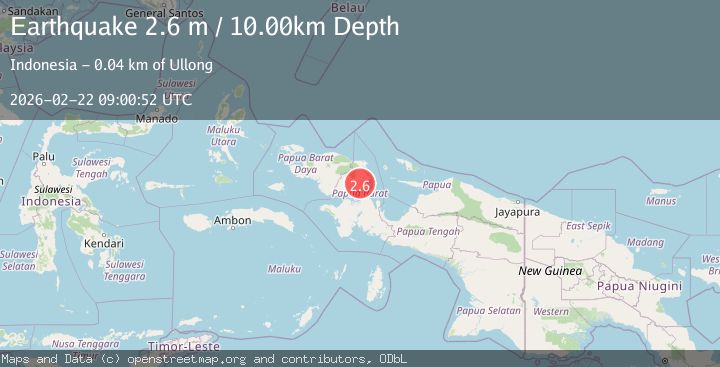
A 2.6 magnitude earthquake struck on West Papua Region, Indonesia, at Sun, 22 Feb 2026 09:00:52 GMT. Depth: 10km. Reviewed by BMKG seismologists, this minor quake occurred at a magnitude type of M.
Magnitude
2.6
M
Source
BMKG
Intensity
-
Agency Reports
1 Sources| Source | Magnitude | Depth | Time |
|---|---|---|---|
| BMKGPrimary | 2.6 | 10 km | 1 hour ago |
Earthquake Details
ManualEvent IDbmg2026drsa
Tsunami PotentialNo
Magnitude TypeM
Nearest Places
- 7.0 km
- 1Tiri7.7 km
- 7.8 km
- 8.7 km
- 9.6 km
Comments
Join the discussion about this event.
Latest Earthquakes
0.6Mag
2 km NW of The Geysers, CA
Time1 hour ago
Depth3.79 km
SourceUSGS (Automatic)
3.2Mag
Peru-Bolivia border region
Time1 hour ago
Depth139.65 km
SourceVYT (Automatic)
3.4Mag
Panama-Colombia border region
Time1 hour ago
Depth10.00 km
SourceVYT (Automatic)
3.7Mag
Minahasa, Sulawesi, Indonesia
Time1 hour ago
Depth0.00 km
SourceVYT (Automatic)
3.0Mag
DODECANESE ISLANDS, GREECE
Time1 hour ago
Depth18.70 km
SourceNOA (Automatic)
Nearby Earthquakes
3.4Mag
Papua, Indonesia
Time3 hours ago
Depth0.00 km
SourceVYT (Automatic)
3.0Mag
PAPUA, INDONESIA
Time3 years ago
Depth10.00 km
SourceDJA (Automatic)
3.0Mag
PAPUA, INDONESIA
Time5 years ago
Depth10.00 km
SourceDJA (Automatic)
3.0Mag
PAPUA, INDONESIA
Time5 months ago
Depth10.00 km
SourceBMKG (Automatic)
2.9Mag
West Papua Region, Indonesia
Time3 weeks ago
Depth10.00 km
SourceBMKG (Automatic)