Earthquake West Papua Region, Indonesia
Sat, 31 Jan 2026 21:00:56 GMT
Time3 days ago
Location
-1.7009, 133.6636
Depth
10.0 KM
Event Summary
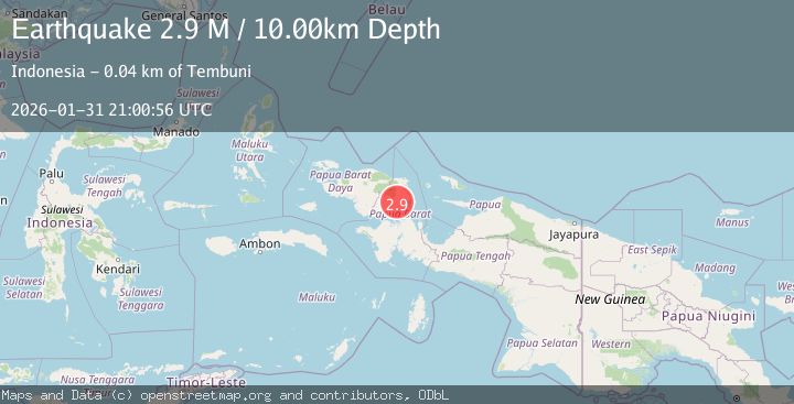
A 2.9 magnitude earthquake struck on West Papua Region, Indonesia, at Sat, 31 Jan 2026 21:00:56 GMT. Depth: 10km. Reviewed by BMKG seismologists, this minor quake occurred at a magnitude type of M.
Magnitude
2.9
M
Source
BMKG
Intensity
-
Agency Reports
1 Sources| Source | Magnitude | Depth | Time |
|---|---|---|---|
| BMKGPrimary | 2.9 | 10 km | 3 days ago |
Earthquake Details
AutomaticEvent IDbmg2026cekr
Tsunami PotentialNo
Magnitude TypeM
Nearest Places
- Gunung Umis2.7 km
- Distrik Dataran Beimes6.4 km
- Stenis7.4 km
- Sungai Cibera8.4 km
- Kampung Ugdohop8.5 km
Comments
Join the discussion about this event.
Latest Earthquakes
3.7Mag
HOKKAIDO, JAPAN REGION
Time1 hour ago
Depth0.00 km
SourceJMA (Automatic)
2.9Mag
Northern Molucca Sea
Time1 hour ago
Depth26.98 km
SourceBMKG (Automatic)
1.5Mag
13 km NNW of Sutcliffe, Nevada
Time1 hour ago
Depth7.82 km
SourceUSGS (Automatic)
3.0Mag
Off West Coast of Northern Sumatra
Time1 hour ago
Depth51.70 km
SourceBMKG (Automatic)
2.4Mag
NORTHERN CALIFORNIA
Time1 hour ago
Depth27.00 km
SourceNC (Automatic)
Nearby Earthquakes
2.1Mag
West Papua Region, Indonesia
Time3 days ago
Depth10.00 km
SourceBMKG (Automatic)
2.3Mag
West Papua Region, Indonesia
Time3 hours ago
Depth10.00 km
SourceBMKG (Automatic)
4.5Mag
West Papua Region, Indonesia
Time1 day ago
Depth20.81 km
SourceBMKG (Automatic)
2.7Mag
West Papua Region, Indonesia
Time1 week ago
Depth14.00 km
SourceBMKG (Automatic)
4.2Mag
West Papua Region, Indonesia
Time3 days ago
Depth13.60 km
SourceBMKG (Automatic)