Earthquake Southern Sumatra, Indonesia
Sun, 22 Feb 2026 15:55:07 GMT
Time1 hour ago
Location
-2.9058, 101.0101
Depth
22.5 KM
Event Summary
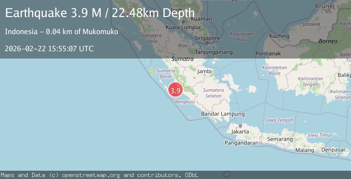
A 3.9 magnitude earthquake struck on Southern Sumatra, Indonesia, at Sun, 22 Feb 2026 15:55:07 GMT. Depth: 22.481731km. Reviewed by BMKG seismologists, this minor quake occurred at a magnitude type of M.
Magnitude
3.9
M
Source
BMKG
Intensity
-
Agency Reports
1 Sources| Source | Magnitude | Depth | Time |
|---|---|---|---|
| BMKGPrimary | 3.9 | 22 km | 1 hour ago |
Earthquake Details
ManualEvent IDbmg2026dsfr
Tsunami PotentialNo
Magnitude TypeM
Nearest Places
- 34.9 km
- 35.2 km
- 35.7 km
- 35.8 km
- 36.1 km
Comments
Join the discussion about this event.
Latest Earthquakes
2.1Mag
Southern Alaska
Time1 hour ago
Depth113.77 km
SourceVYT (Automatic)
2.6Mag
Seram, Indonesia
Time1 hour ago
Depth121.34 km
SourceVYT (Automatic)
1.1Mag
Washington
Time1 hour ago
Depth0.00 km
SourceVYT (Automatic)
3.5Mag
Potosi, Bolivia
Time1 hour ago
Depth344.73 km
SourceVYT (Automatic)
1.3Mag
Southern Alaska
Time1 hour ago
Depth0.00 km
SourceVYT (Automatic)
Nearby Earthquakes
5.3Mag
KEP. MENTAWAI REGION, INDONESIA
Time17 years ago
Depth60.00 km
SourceEMSC (Automatic)
3.7Mag
Southern Sumatra, Indonesia
Time3 weeks ago
Depth12.10 km
SourceBMKG (Automatic)
4.0Mag
KEP. MENTAWAI REGION, INDONESIA
Time6 years ago
Depth13.00 km
SourceDJA (Automatic)
5.6Mag
SOUTHERN SUMATRA, INDONESIA
Time6 years ago
Depth30.00 km
SourceEMSC (Automatic)
5.0Mag
KEP. MENTAWAI REGION, INDONESIA
Time13 years ago
Depth42.00 km
SourceEMSC (Automatic)