Earthquake Near North Coast of West Papua
Sun, 22 Feb 2026 19:34:29 GMT
Time1 hour ago
Location
-2.6058, 139.5888
Depth
11.4 KM
Event Summary
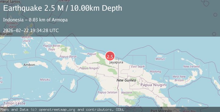
A 2.2 magnitude earthquake struck on Near North Coast of West Papua, at Sun, 22 Feb 2026 19:34:29 GMT. Depth: 11.405237km. Reviewed by BMKG seismologists, this minor quake occurred at a magnitude type of M.
Magnitude
2.2
M
Source
BMKG
Intensity
-
Agency Reports
1 Sources| Source | Magnitude | Depth | Time |
|---|---|---|---|
| BMKGPrimary | 2.2 | 11 km | 1 hour ago |
Earthquake Details
ManualEvent IDbmg2026dsmx
Tsunami PotentialNo
Magnitude TypeM
Nearest Places
- 1.7 km
- 3.8 km
- 3.9 km
- 4.3 km
- 5.4 km
Comments
Join the discussion about this event.
Latest Earthquakes
1.4Mag
12 km NE of Cabazon, CA
Time1 hour ago
Depth15.07 km
SourceUSGS (Automatic)
2.6Mag
WESTERN XIZANG
Time1 hour ago
Depth5.00 km
SourceNDI (Automatic)
1.6Mag
16 km NE of Yerington, Nevada
Time1 hour ago
Depth9.09 km
SourceUSGS (Automatic)
1.7Mag
Southern Alaska
Time1 hour ago
Depth38.57 km
SourceVYT (Automatic)
1.2Mag
WESTERN TURKEY
Time1 hour ago
Depth7.00 km
SourceAFAD (Automatic)
Nearby Earthquakes
3.0Mag
NEAR N COAST OF PAPUA, INDONESIA
Time2 years ago
Depth10.00 km
SourceBMKG (Automatic)
3.2Mag
Near North Coast of West Papua
Time5 days ago
Depth28.97 km
SourceBMKG
3.0Mag
NEAR N COAST OF PAPUA, INDONESIA
Time5 months ago
Depth26.00 km
SourceBMKG (Automatic)
3.0Mag
NEAR N COAST OF PAPUA, INDONESIA
Time4 years ago
Depth99.00 km
SourceDJA (Automatic)
2.9Mag
NEAR N COAST OF PAPUA, INDONESIA
Time1 month ago
Depth21.00 km
SourceBMKG (Automatic)