Earthquake Northern Sumatra, Indonesia
Mon, 23 Feb 2026 05:11:10 GMT
Time1 hour ago
Location
4.1819, 97.4476
Depth
0.7 KM
Event Summary
A 2.3 magnitude earthquake struck on Northern Sumatra, Indonesia, at Mon, 23 Feb 2026 05:11:10 GMT. Depth: 0.69666km. Reviewed by BMKG seismologists, this minor quake occurred at a magnitude type of M.
Magnitude
2.3
M
Source
BMKG
Intensity
-
Agency Reports
1 Sources| Source | Magnitude | Depth | Time |
|---|---|---|---|
| BMKGPrimary | 2.3 | 1 km | 1 hour ago |
Earthquake Details
ManualEvent IDbmg2026dtfy
Tsunami PotentialNo
Magnitude TypeM
Nearest Places
- 1.0 km
- 1.2 km
- 3.4 km
- 4.0 km
- 4.6 km
Comments
Join the discussion about this event.
Latest Earthquakes
6.7Mag
Fox Islands, Aleutian Islands, Alaska
Time1 hour ago
Depth22.83 km
SourceVYT (Automatic)
1.1Mag
8 km NW of The Geysers, CA
Time1 hour ago
Depth1.71 km
SourceUSGS (Automatic)
2.3Mag
Sulawesi, Indonesia
Time1 hour ago
Depth17.48 km
SourceBMKG
1.0Mag
Central Alaska
Time1 hour ago
Depth14.04 km
SourceVYT (Automatic)
1.2Mag
Southern Alaska
Time1 hour ago
Depth39.43 km
SourceVYT (Automatic)
Nearby Earthquakes
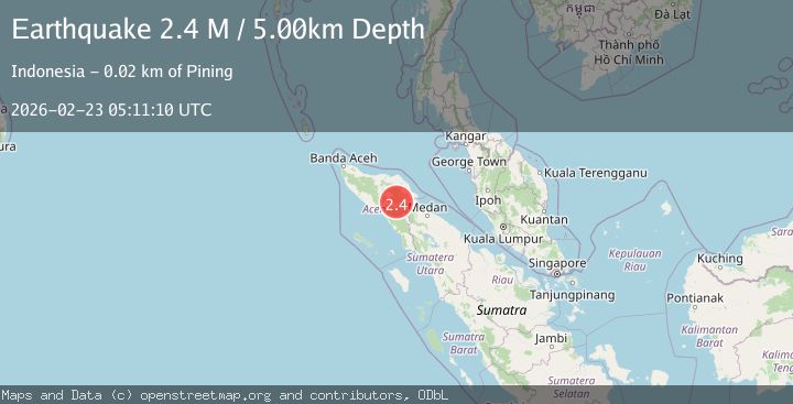
2.4Mag
Northern Sumatra, Indonesia
Time0 months ago
Depth5.00 km
SourceBMKG (Automatic)
2.2Mag
Northern Sumatra, Indonesia
Time3 weeks ago
Depth13.04 km
SourceBMKG (Automatic)
2.3Mag
Northern Sumatra, Indonesia
Time1 week ago
Depth1.34 km
SourceBMKG
2.2Mag
Northern Sumatra, Indonesia
Time3 weeks ago
Depth10.00 km
SourceBMKG (Automatic)
2.1Mag
Northern Sumatra, Indonesia
Time2 weeks ago
Depth0.57 km
SourceBMKG (Automatic)