Earthquake Southern Sumatra, Indonesia
Mon, 23 Feb 2026 06:43:11 GMT
Time1 hour ago
Location
-2.9123, 102.2633
Depth
20.2 KM
Event Summary
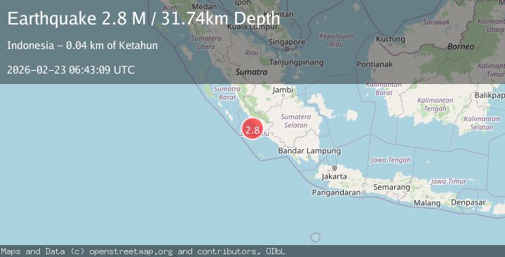
A 2.7 magnitude earthquake struck on Southern Sumatra, Indonesia, at Mon, 23 Feb 2026 06:43:11 GMT. Depth: 20.181517km. Reviewed by BMKG seismologists, this minor quake occurred at a magnitude type of M.
Magnitude
2.7
M
Source
BMKG
Intensity
-
Agency Reports
1 Sources| Source | Magnitude | Depth | Time |
|---|---|---|---|
| BMKGPrimary | 2.7 | 20 km | 1 hour ago |
Earthquake Details
ManualEvent IDbmg2026dtiz
Tsunami PotentialNo
Magnitude TypeM
Nearest Places
- 4.5 km
- 6.9 km
- 8.8 km
- 9.6 km
- 9.9 km
Comments
Join the discussion about this event.
Latest Earthquakes
1.9Mag
Central California
Time1 hour ago
Depth26.25 km
SourceVYT (Automatic)
3.0Mag
Nevada
Time1 hour ago
Depth0.00 km
SourceVYT (Automatic)
2.3Mag
Antofagasta, Chile
Time1 hour ago
Depth57.62 km
SourceVYT (Automatic)
2.1Mag
Sumbawa Region, Indonesia
Time1 hour ago
Depth34.73 km
SourceBMKG
1.3Mag
6 km NW of The Geysers, CA
Time1 hour ago
Depth3.01 km
SourceUSGS (Automatic)
Nearby Earthquakes
5.1Mag
SOUTHERN SUMATRA, INDONESIA
Time18 years ago
Depth30.00 km
SourceEMSC (Automatic)
5.1Mag
SOUTHERN SUMATRA, INDONESIA
Time9 years ago
Depth158.00 km
SourceEMSC (Automatic)
2.6Mag
SOUTHERN SUMATRA, INDONESIA
Time1 month ago
Depth155.00 km
SourceBMKG (Automatic)
5.1Mag
SOUTHERN SUMATRA, INDONESIA
Time11 years ago
Depth166.00 km
SourceEMSC (Automatic)
4.0Mag
SOUTHERN SUMATRA, INDONESIA
Time2 years ago
Depth116.00 km
SourceBMKG (Automatic)