Earthquake Timor Region
Mon, 23 Feb 2026 13:37:03 GMT
Time1 hour ago
Location
-8.9779, 124.2049
Depth
74.3 KM
Event Summary
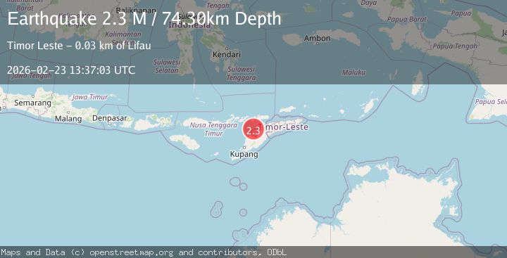
A 2.3 magnitude earthquake struck on Timor Region, at Mon, 23 Feb 2026 13:37:03 GMT. Depth: 74.295509km. Reviewed by BMKG seismologists, this minor quake occurred at a magnitude type of M.
Magnitude
2.3
M
Source
BMKG
Intensity
-
Agency Reports
1 Sources| Source | Magnitude | Depth | Time |
|---|---|---|---|
| BMKGPrimary | 2.3 | 74 km | 1 hour ago |
Earthquake Details
ManualEvent IDbmg2026dtwq
Tsunami PotentialNo
Magnitude TypeM
Nearest Places
- 27.3 km
- 27.4 km
- 27.4 km
- 27.5 km
- 27.9 km
Comments
Join the discussion about this event.
Latest Earthquakes
1.2Mag
12 km ENE of Borrego Springs, CA
Time1 hour ago
Depth13.21 km
SourceUSGS (Automatic)
0.7Mag
7 km NW of The Geysers, CA
Time1 hour ago
Depth2.97 km
SourceUSGS (Automatic)
1.5Mag
Kenai Peninsula, Alaska
Time1 hour ago
Depth126.95 km
SourceVYT (Automatic)
2.7Mag
Fox Islands, Aleutian Islands, Alaska
Time1 hour ago
Depth0.00 km
SourceVYT (Automatic)
3.9Mag
New Britain region, Papua New Guinea
Time1 hour ago
Depth234.25 km
SourceVYT (Automatic)
Nearby Earthquakes
2.4Mag
Timor Region
Time3 weeks ago
Depth56.30 km
SourceBMKG (Automatic)
3.0Mag
KEPULAUAN ALOR, INDONESIA
Time2 years ago
Depth48.00 km
SourceBMKG (Automatic)
3.0Mag
KEPULAUAN ALOR, INDONESIA
Time2 years ago
Depth79.00 km
SourceBMKG (Automatic)
2.0Mag
Timor Region
Time1 week ago
Depth65.54 km
SourceBMKG
3.0Mag
TIMOR REGION
Time4 years ago
Depth48.00 km
SourceDJA (Automatic)