Earthquake Near North Coast of West Papua
Tue, 24 Feb 2026 12:21:12 GMT
Time1 hour ago
Location
-2.1982, 140.8007
Depth
10.0 KM
Event Summary
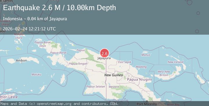
A 2.6 magnitude earthquake struck on Near North Coast of West Papua, at Tue, 24 Feb 2026 12:21:12 GMT. Depth: 10km. Reviewed by BMKG seismologists, this minor quake occurred at a magnitude type of M.
Magnitude
2.6
M
Source
BMKG
Intensity
-
Agency Reports
1 Sources| Source | Magnitude | Depth | Time |
|---|---|---|---|
| BMKGPrimary | 2.6 | 10 km | 1 hour ago |
Earthquake Details
ManualEvent IDbmg2026dvpq
Tsunami PotentialNo
Magnitude TypeM
Nearest Places
- 34.2 km
- 34.6 km
- 36.3 km
- 36.7 km
- 37.0 km
Comments
Join the discussion about this event.
Latest Earthquakes
2.6Mag
Southern California
Time1 hour ago
Depth10.01 km
SourceVYT (Automatic)
3.4Mag
Fox Islands, Aleutian Islands, Alaska
Time1 hour ago
Depth0.00 km
SourceVYT (Automatic)
0.8Mag
10 km S of Kelseyville, CA
Time1 hour ago
Depth22.91 km
SourceUSGS (Automatic)
2.7Mag
West Papua Region, Indonesia
Time1 hour ago
Depth10.00 km
SourceBMKG
1.5Mag
Southeastern Alaska
Time1 hour ago
Depth0.00 km
SourceVYT (Automatic)
Nearby Earthquakes
3.7Mag
NEAR N COAST OF PAPUA, INDONESIA
Time1 month ago
Depth10.00 km
SourceBMKG (Automatic)
3.0Mag
NEAR N COAST OF PAPUA, INDONESIA
Time3 years ago
Depth10.00 km
SourceDJA (Automatic)
2.8Mag
NEAR N COAST OF PAPUA, INDONESIA
Time1 month ago
Depth10.00 km
SourceBMKG (Automatic)
3.1Mag
Near North Coast of West Papua
Time2 days ago
Depth10.00 km
SourceBMKG
3.0Mag
NEAR N COAST OF PAPUA, INDONESIA
Time2 years ago
Depth22.00 km
SourceDJA (Automatic)