Earthquake South of Bali, Indonesia
Tue, 24 Feb 2026 15:47:11 GMT
Time1 hour ago
Location
-9.4303, 115.7717
Depth
24.5 KM
Event Summary
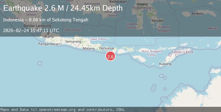
A 2.6 magnitude earthquake struck on South of Bali, Indonesia, at Tue, 24 Feb 2026 15:47:11 GMT. Depth: 24.454872km. Reviewed by BMKG seismologists, this minor quake occurred at a magnitude type of M.
Magnitude
2.6
M
Source
BMKG
Intensity
-
Agency Reports
1 Sources| Source | Magnitude | Depth | Time |
|---|---|---|---|
| BMKGPrimary | 2.6 | 24 km | 1 hour ago |
Earthquake Details
ManualEvent IDbmg2026dvwk
Tsunami PotentialNo
Magnitude TypeM
Nearest Places
- 51.3 km
- 61.7 km
- 64.0 km
- 64.5 km
- 64.9 km
Comments
Join the discussion about this event.
Latest Earthquakes
2.0Mag
Southern Alaska
Time1 hour ago
Depth84.84 km
SourceVYT (Automatic)
2.3Mag
Tarapaca, Chile
Time1 hour ago
Depth90.33 km
SourceVYT (Automatic)
1.6Mag
Central Alaska
Time1 hour ago
Depth113.77 km
SourceVYT (Automatic)
2.4Mag
Sweden
Time1 hour ago
Depth420.17 km
SourceVYT (Automatic)
1.1Mag
1 km NNE of Borrego Springs, CA
Time1 hour ago
Depth3.06 km
SourceUSGS (Automatic)
Nearby Earthquakes
3.0Mag
SOUTH OF BALI, INDONESIA
Time1 year ago
Depth18.00 km
SourceBMKG (Automatic)
4.0Mag
SOUTH OF BALI, INDONESIA
Time4 years ago
Depth12.00 km
SourceDJA (Automatic)
2.5Mag
South of Bali, Indonesia
Time3 weeks ago
Depth37.73 km
SourceBMKG (Automatic)
3.0Mag
SOUTH OF BALI, INDONESIA
Time4 years ago
Depth29.00 km
SourceDJA (Automatic)
2.9Mag
South of Bali, Indonesia
Time1 month ago
Depth27.22 km
SourceBMKG (Automatic)