Earthquake Near North Coast of West Papua
Tue, 24 Feb 2026 20:13:22 GMT
Time1 hour ago
Location
-2.9250, 139.0564
Depth
10.0 KM
Event Summary
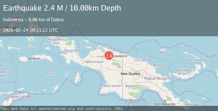
A 2.4 magnitude earthquake struck on Near North Coast of West Papua, at Tue, 24 Feb 2026 20:13:22 GMT. Depth: 10km. Reviewed by BMKG seismologists, this minor quake occurred at a magnitude type of M.
Magnitude
2.4
M
Source
BMKG
Intensity
-
Agency Reports
1 Sources| Source | Magnitude | Depth | Time |
|---|---|---|---|
| BMKGPrimary | 2.4 | 10 km | 1 hour ago |
Earthquake Details
ManualEvent IDbmg2026dwff
Tsunami PotentialNo
Magnitude TypeM
Nearest Places
- 3.6 km
- 16.6 km
- 19.2 km
- 23.5 km
- 23.8 km
Comments
Join the discussion about this event.
Latest Earthquakes
3.5Mag
Banda Sea
Time1 hour ago
Depth143.47 km
SourceBMKG
1.7Mag
6 km NNE of Westmorland, CA
Time1 hour ago
Depth14.13 km
SourceUSGS (Automatic)
2.8Mag
Java, Indonesia
Time1 hour ago
Depth107.63 km
SourceBMKG
2.2Mag
Tarapaca, Chile
Time1 hour ago
Depth116.58 km
SourceVYT (Automatic)
2.1Mag
Tarapaca, Chile
Time1 hour ago
Depth1.34 km
SourceVYT (Automatic)
Nearby Earthquakes
5.1Mag
NEAR N COAST OF PAPUA, INDONESIA
Time1 year ago
Depth46.00 km
SourceEMSC (Automatic)
5.8Mag
NEAR N COAST OF PAPUA, INDONESIA
Time5 years ago
Depth40.00 km
SourceEMSC (Automatic)
4.0Mag
PAPUA, INDONESIA
Time3 years ago
Depth40.00 km
SourceNEIC (Automatic)
5.4Mag
NEAR N COAST OF PAPUA, INDONESIA
Time7 years ago
Depth60.00 km
SourceEMSC (Automatic)
5.4Mag
NEAR N COAST OF PAPUA, INDONESIA
Time5 years ago
Depth25.00 km
SourceEMSC (Automatic)