Earthquake 6 km NNE of Westmorland, CA
Tue, 24 Feb 2026 20:16:04 GMT
Time1 hour ago
Location
33.0848, -115.5963
Depth
14.1 KM
Event Summary
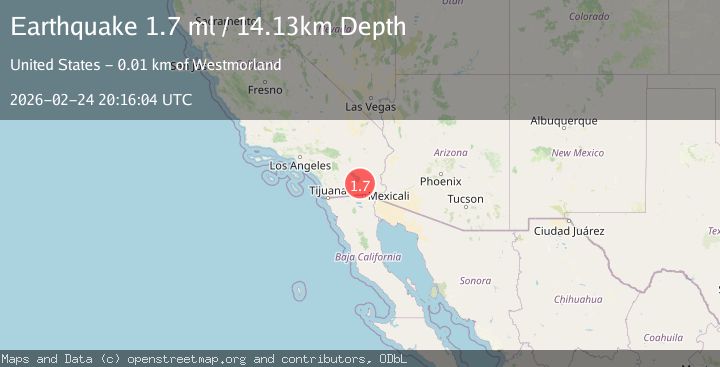
A 1.7 magnitude earthquake struck on 6 km NNE of Westmorland, CA, at Tue, 24 Feb 2026 20:16:04 GMT. Depth: 14.1300001144409km. Reviewed by USGS seismologists, this minor quake occurred at a magnitude type of ml.
Magnitude
1.7
ml
Source
USGS
Intensity
-
Agency Reports
1 Sources| Source | Magnitude | Depth | Time |
|---|---|---|---|
| USGSPrimary | 1.7 | 14 km | 1 hour ago |
Earthquake Details
AutomaticEvent IDusgs_ci41402856
Tsunami PotentialNo
Magnitude Typeml
Nearest Places
- 1.2 km
- 1.3 km
- 1.6 km
- 1.8 km
- 2.2 km
Comments
Join the discussion about this event.
Latest Earthquakes
3.5Mag
Banda Sea
Time1 hour ago
Depth143.47 km
SourceBMKG
2.8Mag
Java, Indonesia
Time1 hour ago
Depth107.63 km
SourceBMKG
2.4Mag
Near North Coast of West Papua
Time1 hour ago
Depth10.00 km
SourceBMKG
2.2Mag
Tarapaca, Chile
Time1 hour ago
Depth116.58 km
SourceVYT (Automatic)
2.1Mag
Tarapaca, Chile
Time1 hour ago
Depth1.34 km
SourceVYT (Automatic)
Nearby Earthquakes
5.0Mag
SOUTHERN CALIFORNIA
Time5 years ago
Depth7.00 km
SourceNEIC (Automatic)
3.0Mag
SOUTHERN CALIFORNIA
Time5 years ago
Depth5.00 km
SourceNEIC (Automatic)
3.0Mag
SOUTHERN CALIFORNIA
Time3 years ago
Depth10.00 km
SourceNEIC (Automatic)
3.0Mag
SOUTHERN CALIFORNIA
Time5 years ago
Depth5.00 km
SourceNEIC (Automatic)
1.3Mag
8 km WSW of Calipatria, CA
Time1 month ago
Depth9.00 km
SourceUSGS (Automatic)