Earthquake West Papua, Indonesia
Thu, 26 Feb 2026 06:47:38 GMT
Time1 hour ago
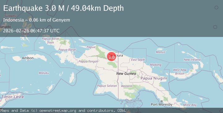
Location
-3.0653, 140.1443
Depth
29.6 KM
Event Summary
A 2.9 magnitude earthquake struck on West Papua, Indonesia, at Thu, 26 Feb 2026 06:47:38 GMT. Depth: 29.635134km. Reviewed by BMKG seismologists, this minor quake occurred at a magnitude type of M.
Magnitude
2.9
M
Source
BMKG
Intensity
-
Agency Reports
1 Sources| Source | Magnitude | Depth | Time |
|---|---|---|---|
| BMKGPrimary | 2.9 | 30 km | 1 hour ago |
Earthquake Details
ManualEvent IDbmg2026dyvq
Tsunami PotentialNo
Magnitude TypeM
Nearest Places
- 12.2 km
- 13.8 km
- 15.0 km
- 15.0 km
- 16.1 km
Comments
Join the discussion about this event.
Latest Earthquakes
2.4Mag
Tarapaca, Chile
Time1 hour ago
Depth109.74 km
SourceVYT (Automatic)
2.4Mag
British Columbia, Canada
Time1 hour ago
Depth7.81 km
SourceVYT (Automatic)
2.9Mag
offshore Valparaiso, Chile
Time1 hour ago
Depth14.89 km
SourceVYT (Automatic)
2.3Mag
Baja California, Mexico
Time1 hour ago
Depth0.00 km
SourceVYT (Automatic)
2.1Mag
Tarapaca, Chile
Time1 hour ago
Depth5.00 km
SourceVYT (Automatic)
Nearby Earthquakes
2.9Mag
West Papua, Indonesia
Time0 months ago
Depth42.09 km
SourceBMKG (Automatic)
2.9Mag
PAPUA, INDONESIA
Time1 month ago
Depth27.00 km
SourceBMKG (Automatic)
2.1Mag
West Papua, Indonesia
Time3 weeks ago
Depth65.29 km
SourceBMKG (Automatic)
3.0Mag
PAPUA, INDONESIA
Time2 years ago
Depth37.00 km
SourceDJA (Automatic)
2.3Mag
West Papua, Indonesia
Time2 weeks ago
Depth19.97 km
SourceBMKG (Automatic)