Earthquake Near North Coast of West Papua
Thu, 26 Feb 2026 07:22:57 GMT
Time22 hours ago
Location
-2.6152, 139.6174
Depth
26.6 KM
Event Summary
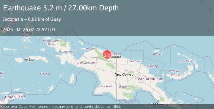
A 3.2 magnitude earthquake struck on Near North Coast of West Papua, at Thu, 26 Feb 2026 07:22:57 GMT. Depth: 26.630739km. Reviewed by BMKG seismologists, this minor quake occurred at a magnitude type of M.
Magnitude
3.2
M
Source
BMKG
Intensity
-
Agency Reports
1 Sources| Source | Magnitude | Depth | Time |
|---|---|---|---|
| BMKGPrimary | 3.2 | 27 km | 22 hours ago |
Earthquake Details
ManualEvent IDbmg2026dywu
Tsunami PotentialNo
Magnitude TypeM
Nearest Places
- 1.9 km
- 3.9 km
- 6.0 km
- 6.8 km
- 6.9 km
Comments
Join the discussion about this event.
Latest Earthquakes
1.7Mag
Southern Alaska
Time22 hours ago
Depth22.58 km
SourceVYT (Automatic)
3.7Mag
NEAR COAST OF CENTRAL PERU
Time22 hours ago
Depth40.00 km
SourceLIM (Automatic)
1.3Mag
7 km WNW of The Geysers, CA
Time22 hours ago
Depth3.13 km
SourceUSGS (Automatic)
2.4Mag
Bali Sea
Time22 hours ago
Depth7.15 km
SourceBMKG
1.9Mag
9 km ENE of Calumet, Oklahoma
Time22 hours ago
Depth5.29 km
SourceUSGS (Automatic)
Nearby Earthquakes
3.0Mag
NEAR N COAST OF PAPUA, INDONESIA
Time2 years ago
Depth10.00 km
SourceBMKG (Automatic)
3.2Mag
Near North Coast of West Papua
Time1 week ago
Depth28.97 km
SourceBMKG
2.9Mag
NEAR N COAST OF PAPUA, INDONESIA
Time1 month ago
Depth21.00 km
SourceBMKG (Automatic)
3.0Mag
NEAR N COAST OF PAPUA, INDONESIA
Time4 years ago
Depth99.00 km
SourceDJA (Automatic)
3.0Mag
NEAR N COAST OF PAPUA, INDONESIA
Time5 months ago
Depth26.00 km
SourceBMKG (Automatic)