Earthquake West Papua Region, Indonesia
Thu, 26 Feb 2026 15:56:20 GMT
Time3 hours ago
Location
-1.4872, 133.7036
Depth
10.0 KM
Event Summary
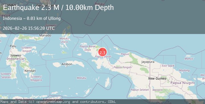
A 2.3 magnitude earthquake struck on West Papua Region, Indonesia, at Thu, 26 Feb 2026 15:56:20 GMT. Depth: 10km. Reviewed by BMKG seismologists, this minor quake occurred at a magnitude type of M.
Magnitude
2.3
M
Source
BMKG
Intensity
-
Agency Reports
1 Sources| Source | Magnitude | Depth | Time |
|---|---|---|---|
| BMKGPrimary | 2.3 | 10 km | 3 hours ago |
Earthquake Details
ManualEvent IDbmg2026dzns
Tsunami PotentialNo
Magnitude TypeM
Nearest Places
- 1.5 km
- 3.2 km
- 3.5 km
- 3.6 km
- 4.4 km
Comments
Join the discussion about this event.
Latest Earthquakes
1.2Mag
Alaska Peninsula
Time3 hours ago
Depth0.00 km
SourceVYT (Automatic)
2.3Mag
Java, Indonesia
Time3 hours ago
Depth38.15 km
SourceBMKG
2.1Mag
Sumbawa Region, Indonesia
Time3 hours ago
Depth10.00 km
SourceBMKG
3.1Mag
Alaska Peninsula
Time3 hours ago
Depth0.00 km
SourceVYT (Automatic)
3.0Mag
IONIAN SEA
Time3 hours ago
Depth10.70 km
SourceNOA (Automatic)
Nearby Earthquakes
4.5Mag
West Papua Region, Indonesia
Time3 weeks ago
Depth20.81 km
SourceBMKG (Automatic)
2.3Mag
West Papua Region, Indonesia
Time3 weeks ago
Depth10.00 km
SourceBMKG (Automatic)
2.2Mag
West Papua Region, Indonesia
Time4 days ago
Depth10.00 km
SourceBMKG
3.0Mag
PAPUA, INDONESIA
Time5 months ago
Depth10.00 km
SourceBMKG (Automatic)
4.0Mag
PAPUA, INDONESIA
Time5 years ago
Depth60.00 km
SourceNEIC (Automatic)