Earthquake West Papua Region, Indonesia
Tue, 03 Feb 2026 08:54:12 GMT
Time1 day ago
Location
-1.5455, 133.7365
Depth
20.8 KM
Event Summary
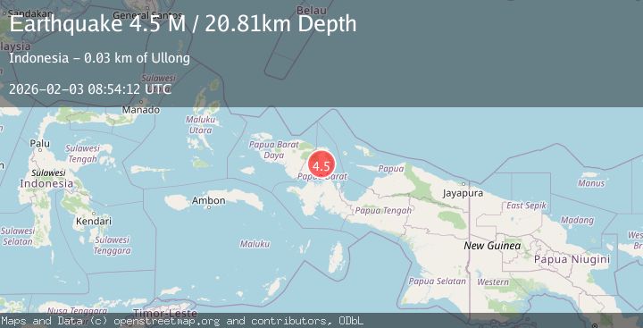
A 4.5 magnitude earthquake struck on West Papua Region, Indonesia, at Tue, 03 Feb 2026 08:54:12 GMT. Depth: 20.809353km. Reviewed by BMKG seismologists, this light quake occurred at a magnitude type of M.
Magnitude
4.5
M
Source
BMKG
Intensity
-
Agency Reports
1 Sources| Source | Magnitude | Depth | Time |
|---|---|---|---|
| BMKGPrimary | 4.5 | 21 km | 1 day ago |
Earthquake Details
AutomaticEvent IDbmg2026cizg
Tsunami PotentialNo
Magnitude TypeM
Nearest Places
- Kampung Desra3.5 km
- Kampung Hugomot5.3 km
- Kampung Iranmeba5.5 km
- Kampung Demdamei7.0 km
- Hufuma7.5 km
Comments
Join the discussion about this event.
Latest Earthquakes
2.4Mag
NORTHERN CALIFORNIA
Time1 hour ago
Depth27.00 km
SourceNC (Automatic)
1.8Mag
4 km ESE of San Ramon, CA
Time1 hour ago
Depth4.41 km
SourceUSGS (Automatic)
1.6Mag
28 km NNE of Nellis Air Force Base, Nevada
Time1 hour ago
Depth4.22 km
SourceUSGS (Automatic)
5.8Mag
RYUKYU ISLANDS, JAPAN
Time1 hour ago
Depth10.00 km
SourceGFZ (Automatic)
2.8Mag
ALBANIA
Time1 hour ago
Depth15.00 km
SourceIGEO (Automatic)
Nearby Earthquakes
2.3Mag
West Papua Region, Indonesia
Time3 hours ago
Depth10.00 km
SourceBMKG (Automatic)
2.9Mag
West Papua Region, Indonesia
Time3 days ago
Depth10.00 km
SourceBMKG (Automatic)
2.1Mag
West Papua Region, Indonesia
Time3 days ago
Depth10.00 km
SourceBMKG (Automatic)
2.1Mag
West Papua Region, Indonesia
Time1 week ago
Depth38.83 km
SourceBMKG (Automatic)
2.5Mag
West Papua Region, Indonesia
Time1 week ago
Depth12.18 km
SourceBMKG (Automatic)