Earthquake West Papua, Indonesia
Thu, 26 Feb 2026 20:44:35 GMT
Time1 day ago
Location
-3.0270, 139.8431
Depth
36.2 KM
Event Summary
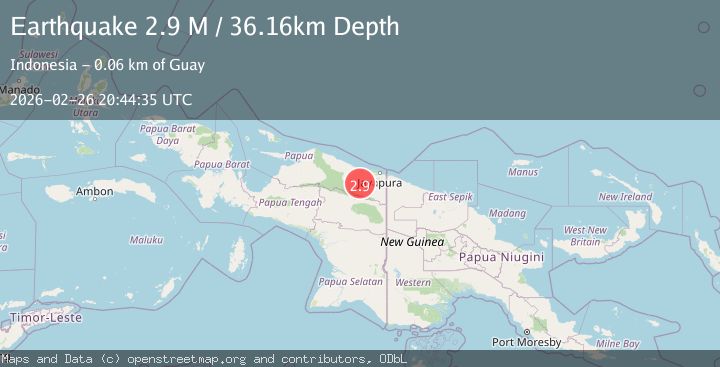
A 2.9 magnitude earthquake struck on West Papua, Indonesia, at Thu, 26 Feb 2026 20:44:35 GMT. Depth: 36.164715km. Reviewed by BMKG seismologists, this minor quake occurred at a magnitude type of M.
Magnitude
2.9
M
Source
BMKG
Intensity
-
Agency Reports
1 Sources| Source | Magnitude | Depth | Time |
|---|---|---|---|
| BMKGPrimary | 2.9 | 36 km | 1 day ago |
Earthquake Details
ManualEvent IDbmg2026dzxf
Tsunami PotentialNo
Magnitude TypeM
Nearest Places
- 5.1 km
- 9.7 km
- 10.6 km
- 11.0 km
- 11.3 km
Comments
Join the discussion about this event.
Latest Earthquakes
1.5Mag
western Texas
Time1 minute ago
Depth0.00 km
SourceVYT (Automatic)
1.5Mag
Central Alaska
Time12 minutes ago
Depth53.71 km
SourceVYT (Automatic)
2.2Mag
Central California
Time13 minutes ago
Depth0.00 km
SourceVYT (Automatic)
0.9Mag
Southern Alaska
Time14 minutes ago
Depth2.81 km
SourceVYT (Automatic)
2.7Mag
Coquimbo, Chile
Time23 minutes ago
Depth8.91 km
SourceVYT (Automatic)
Nearby Earthquakes
5.2Mag
NEAR N COAST OF PAPUA, INDONESIA
Time14 years ago
Depth40.00 km
SourceEMSC (Automatic)
2.6Mag
West Papua, Indonesia
Time1 week ago
Depth10.00 km
SourceBMKG
2.8Mag
Near North Coast of West Papua
Time3 weeks ago
Depth10.00 km
SourceBMKG (Automatic)
3.0Mag
NEAR N COAST OF PAPUA, INDONESIA
Time4 years ago
Depth19.00 km
SourceDJA (Automatic)
5.1Mag
PAPUA, INDONESIA
Time3 years ago
Depth80.00 km
SourceEMSC (Automatic)