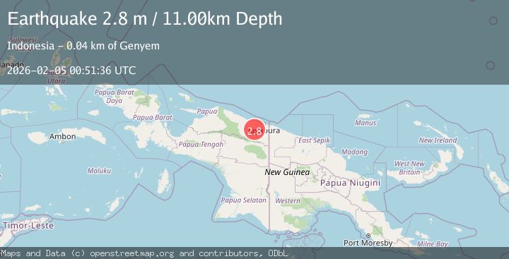
Earthquake Near North Coast of West Papua
Thu, 05 Feb 2026 00:51:31 GMT
Time6 hours ago
Location
-2.9358, 139.8492
Depth
10.0 KM
Event Summary
A 2.7 magnitude earthquake struck on Near North Coast of West Papua, at Thu, 05 Feb 2026 00:51:31 GMT. Depth: 10km. Reviewed by BMKG seismologists, this minor quake occurred at a magnitude type of M.
Magnitude
2.7
M
Source
BMKG
Intensity
-
Agency Reports
1 Sources| Source | Magnitude | Depth | Time |
|---|---|---|---|
| BMKGPrimary | 2.7 | 10 km | 6 hours ago |
Earthquake Details
AutomaticEvent IDbmg2026cmah
Tsunami PotentialNo
Magnitude TypeM
Nearest Places
- Desa Kobi1.9 km
- Kampung Yadauw13.8 km
- Sengbo13.8 km
- Dore14.0 km
- Abo14.7 km
Comments
Join the discussion about this event.
Latest Earthquakes
0.9Mag
SWITZERLAND
Time7 hours ago
Depth6.10 km
SourceETHZ (Automatic)
0.6Mag
2 km SSW of Julian, CA
Time7 hours ago
Depth12.54 km
SourceUSGS (Automatic)
2.6Mag
South of Java, Indonesia
Time7 hours ago
Depth13.34 km
SourceBMKG (Automatic)
0.9Mag
WESTERN TURKEY
Time7 hours ago
Depth6.00 km
SourceAFAD (Automatic)
4.0Mag
GUERRERO, MEXICO
Time7 hours ago
Depth15.40 km
SourceUNM (Automatic)
Nearby Earthquakes
2.6Mag
Near North Coast of West Papua
Time21 hours ago
Depth10.00 km
SourceBMKG (Automatic)
2.1Mag
Near North Coast of West Papua
Time17 hours ago
Depth21.79 km
SourceBMKG (Automatic)
3.5Mag
Near North Coast of West Papua
Time1 week ago
Depth9.75 km
SourceBMKG (Automatic)
2.1Mag
West Papua, Indonesia
Time14 hours ago
Depth52.00 km
SourceBMKG (Automatic)
2.4Mag
Near North Coast of West Papua
Time1 week ago
Depth10.00 km
SourceBMKG (Automatic)