Earthquake Talaud Islands, Indonesia
Fri, 27 Feb 2026 15:37:23 GMT
Time13 hours ago
Location
3.7167, 126.8469
Depth
18.2 KM
Event Summary
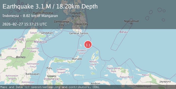
A 3.1 magnitude earthquake struck on Talaud Islands, Indonesia, at Fri, 27 Feb 2026 15:37:23 GMT. Depth: 18.204426km. Reviewed by BMKG seismologists, this minor quake occurred at a magnitude type of M.
Magnitude
3.1
M
Source
BMKG
Intensity
-
Agency Reports
1 Sources| Source | Magnitude | Depth | Time |
|---|---|---|---|
| BMKGPrimary | 3.1 | 18 km | 13 hours ago |
Earthquake Details
ManualEvent IDbmg2026ebip
Tsunami PotentialNo
Magnitude TypeM
Nearest Places
- 2.8 km
- 3.1 km
- 3.3 km
- 4.1 km
- 4.1 km
Comments
Join the discussion about this event.
Latest Earthquakes
3.9Mag
Mindanao, Philippines
Time13 hours ago
Depth144.17 km
SourceVYT (Automatic)
2.1Mag
Southern Alaska
Time14 hours ago
Depth29.91 km
SourceVYT (Automatic)
2.2Mag
SOUTHERN CALIFORNIA
Time14 hours ago
Depth16.80 km
SourceSCSN (Automatic)
1.9Mag
44 km SSW of Dana Point, CA
Time14 hours ago
Depth25.85 km
SourceUSGS (Automatic)
1.6Mag
Central Alaska
Time14 hours ago
Depth0.00 km
SourceVYT (Automatic)
Nearby Earthquakes
5.0Mag
KEPULAUAN TALAUD, INDONESIA
Time19 years ago
Depth60.00 km
SourceEMSC (Automatic)
5.0Mag
KEPULAUAN TALAUD, INDONESIA
Time16 years ago
Depth60.00 km
SourceEMSC (Automatic)
5.1Mag
KEPULAUAN TALAUD, INDONESIA
Time17 years ago
Depth60.00 km
SourceEMSC (Automatic)
4.0Mag
KEPULAUAN TALAUD, INDONESIA
Time3 years ago
Depth23.00 km
SourceDJA (Automatic)
4.0Mag
KEPULAUAN TALAUD, INDONESIA
Time4 years ago
Depth35.00 km
SourceNEIC (Automatic)