Earthquake 44 km SSW of Dana Point, CA
Fri, 27 Feb 2026 15:28:28 GMT
Time9 hours ago
Location
33.1250, -117.9280
Depth
25.9 KM
Event Summary
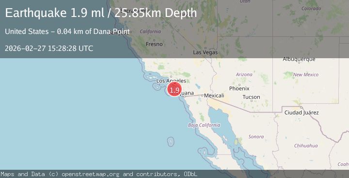
A 1.9 magnitude earthquake struck on 44 km SSW of Dana Point, CA, at Fri, 27 Feb 2026 15:28:28 GMT. Depth: 25.85km. Reviewed by USGS seismologists, this minor quake occurred at a magnitude type of ml.
Magnitude
1.9
ml
Source
USGS
Intensity
-
Agency Reports
1 Sources| Source | Magnitude | Depth | Time |
|---|---|---|---|
| USGSPrimary | 1.9 | 26 km | 9 hours ago |
Earthquake Details
AutomaticEvent IDusgs_ci41405440
Tsunami PotentialNo
Magnitude Typeml
Nearest Places
- 6.3 km
- 21.6 km
- 31.3 km
- 40.6 km
- 40.7 km
Comments
Join the discussion about this event.
Latest Earthquakes
2.1Mag
Sulawesi, Indonesia
Time8 hours ago
Depth102.66 km
SourceVYT (Automatic)
2.3Mag
Tarapaca, Chile
Time8 hours ago
Depth14.40 km
SourceVYT (Automatic)
3.1Mag
Libertador General Bernardo O'Higgins, Chile
Time8 hours ago
Depth1.34 km
SourceVYT (Automatic)
0.8Mag
83 km NNW of Karluk, Alaska
Time8 hours ago
Depth5.00 km
SourceUSGS (Automatic)
1.5Mag
Central Alaska
Time8 hours ago
Depth93.87 km
SourceVYT (Automatic)
Nearby Earthquakes
3.0Mag
GULF OF SANTA CATALINA, CALIF.
Time1 year ago
Depth5.90 km
SourceSCSN (Automatic)
3.0Mag
GULF OF SANTA CATALINA, CALIF.
Time6 years ago
Depth13.00 km
SourceNEIC (Automatic)
3.0Mag
GULF OF SANTA CATALINA, CALIF.
Time8 years ago
Depth10.00 km
SourceNEIC (Automatic)
3.0Mag
GULF OF SANTA CATALINA, CALIF.
Time10 years ago
Depth1.00 km
SourceNEIR (Automatic)
3.0Mag
GULF OF SANTA CATALINA, CALIF.
Time2 years ago
Depth16.30 km
SourceSCSN (Automatic)