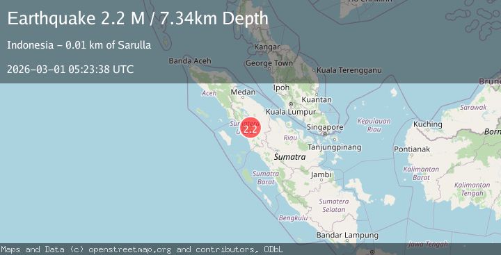
Earthquake Northern Sumatra, Indonesia
Sun, 01 Mar 2026 05:23:38 GMT
Time15 hours ago
Location
1.6976, 99.1779
Depth
7.3 KM
Event Summary
A 2.2 magnitude earthquake struck on Northern Sumatra, Indonesia, at Sun, 01 Mar 2026 05:23:38 GMT. Depth: 7.343017km. Reviewed by BMKG seismologists, this minor quake occurred at a magnitude type of M.
Magnitude
2.2
M
Source
BMKG
Intensity
-
Agency Reports
1 Sources| Source | Magnitude | Depth | Time |
|---|---|---|---|
| BMKGPrimary | 2.2 | 7 km | 15 hours ago |
Earthquake Details
ManualEvent IDbmg2026eefj
Tsunami PotentialNo
Magnitude TypeM
Nearest Places
- 0.8 km
- 1.0 km
- 1.5 km
- 1.8 km
- 1.9 km
Comments
Join the discussion about this event.
Latest Earthquakes
1.8Mag
northwestern Russia
Time4 minutes ago
Depth0.24 km
SourceVYT (Automatic)
2.5Mag
NEVADA
Time5 minutes ago
Depth15.60 km
SourceNN (Automatic)
3.0Mag
Timor region, Indonesia
Time6 minutes ago
Depth47.49 km
SourceVYT (Automatic)
1.8Mag
8 km W of Cobb, CA
Time7 minutes ago
Depth1.82 km
SourceUSGS (Automatic)
1.4Mag
Central Alaska
Time8 minutes ago
Depth0.12 km
SourceVYT (Automatic)
Nearby Earthquakes
2.3Mag
Northern Sumatra, Indonesia
Time5 hours ago
Depth3.34 km
SourceBMKG
2.2Mag
Northern Sumatra, Indonesia
Time3 hours ago
Depth1.75 km
SourceBMKG
3.0Mag
NORTHERN SUMATRA, INDONESIA
Time4 years ago
Depth10.00 km
SourceDJA (Automatic)
3.0Mag
NORTHERN SUMATRA, INDONESIA
Time6 years ago
Depth10.00 km
SourceDJA (Automatic)
2.1Mag
Northern Sumatra, Indonesia
Time7 hours ago
Depth2.56 km
SourceBMKG