Earthquake Northern Sumatra, Indonesia
Sun, 01 Mar 2026 16:58:09 GMT
Time3 hours ago
Location
1.6863, 99.1806
Depth
1.7 KM
Event Summary
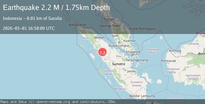
A 2.2 magnitude earthquake struck on Northern Sumatra, Indonesia, at Sun, 01 Mar 2026 16:58:09 GMT. Depth: 1.746726km. Reviewed by BMKG seismologists, this minor quake occurred at a magnitude type of M.
Magnitude
2.2
M
Source
BMKG
Intensity
-
Agency Reports
1 Sources| Source | Magnitude | Depth | Time |
|---|---|---|---|
| BMKGPrimary | 2.2 | 2 km | 3 hours ago |
Earthquake Details
ManualEvent IDbmg2026efcg
Tsunami PotentialNo
Magnitude TypeM
Nearest Places
- 0.3 km
- 0.6 km
- 1.4 km
- 1.4 km
- 2.1 km
Comments
Join the discussion about this event.
Latest Earthquakes
2.8Mag
Bering Strait
Time3 hours ago
Depth208.62 km
SourceVYT (Automatic)
1.6Mag
Washington
Time3 hours ago
Depth17.70 km
SourceVYT (Automatic)
2.7Mag
NEVADA
Time3 hours ago
Depth2.10 km
SourceNN (Automatic)
3.6Mag
off the coast of Atacama, Chile
Time3 hours ago
Depth225.10 km
SourceVYT (Automatic)
1.0Mag
4 km W of Lake Henshaw, CA
Time3 hours ago
Depth14.68 km
SourceUSGS (Automatic)
Nearby Earthquakes
2.2Mag
Northern Sumatra, Indonesia
Time14 hours ago
Depth7.34 km
SourceBMKG
2.3Mag
Northern Sumatra, Indonesia
Time4 hours ago
Depth3.34 km
SourceBMKG
2.1Mag
Northern Sumatra, Indonesia
Time7 hours ago
Depth2.56 km
SourceBMKG
3.0Mag
NORTHERN SUMATRA, INDONESIA
Time6 years ago
Depth10.00 km
SourceDJA (Automatic)
3.0Mag
NORTHERN SUMATRA, INDONESIA
Time4 years ago
Depth10.00 km
SourceDJA (Automatic)