Earthquake South of Bali, Indonesia
Wed, 04 Mar 2026 19:59:26 GMT
Time3 hours ago
Location
-9.0670, 115.9799
Depth
71.1 KM
Event Summary
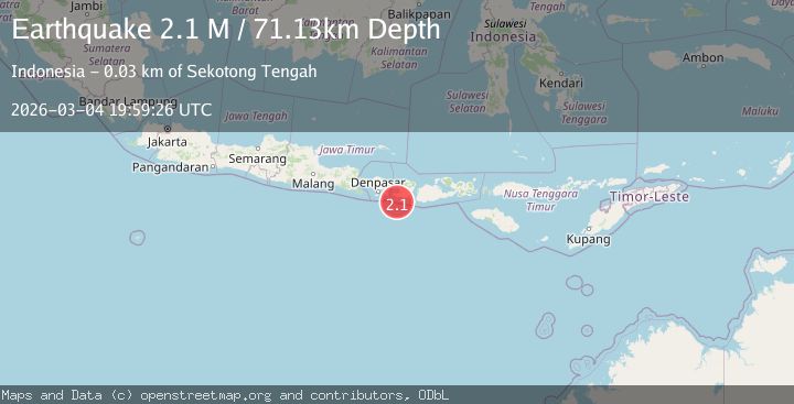
A 2.1 magnitude earthquake struck on South of Bali, Indonesia, at Wed, 04 Mar 2026 19:59:26 GMT. Depth: 71.125038km. Reviewed by BMKG seismologists, this minor quake occurred at a magnitude type of M.
Magnitude
2.1
M
Source
BMKG
Intensity
-
Agency Reports
1 Sources| Source | Magnitude | Depth | Time |
|---|---|---|---|
| BMKGPrimary | 2.1 | 71 km | 3 hours ago |
Earthquake Details
ManualEvent IDbmg2026ekut
Tsunami PotentialNo
Magnitude TypeM
Nearest Places
- 16.0 km
- 18.8 km
- 18.9 km
- 19.6 km
- 20.3 km
Comments
Join the discussion about this event.
Latest Earthquakes
2.2Mag
Tarapaca, Chile
Time2 hours ago
Depth1.95 km
SourceVYT (Automatic)
2.6Mag
Ceram Sea
Time3 hours ago
Depth2.10 km
SourceBMKG
2.6Mag
Halmahera, Indonesia
Time3 hours ago
Depth71.86 km
SourceBMKG
2.0Mag
10 km S of Progreso, B.C., MX
Time3 hours ago
Depth9.70 km
SourceUSGS (Automatic)
3.2Mag
Sulawesi, Indonesia
Time3 hours ago
Depth0.00 km
SourceVYT (Automatic)
Nearby Earthquakes
3.0Mag
LOMBOK REGION, INDONESIA
Time5 years ago
Depth79.00 km
SourceDJA (Automatic)
3.0Mag
SOUTH OF BALI, INDONESIA
Time4 years ago
Depth68.00 km
SourceDJA (Automatic)
2.6Mag
south of Bali, Indonesia
Time1 week ago
Depth41.63 km
SourceVYT (Automatic)
3.0Mag
BALI REGION, INDONESIA
Time2 years ago
Depth160.00 km
SourceDJA (Automatic)
2.0Mag
Bali Region, Indonesia
Time6 days ago
Depth61.92 km
SourceBMKG