Earthquake Near North Coast of West Papua
Thu, 05 Mar 2026 02:14:54 GMT
Time1 hour ago
Location
-2.3933, 140.2805
Depth
23.1 KM
Event Summary
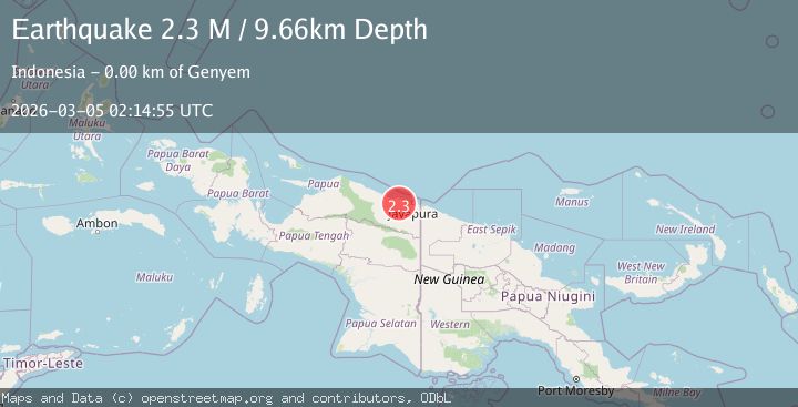
A 2.2 magnitude earthquake struck on Near North Coast of West Papua, at Thu, 05 Mar 2026 02:14:54 GMT. Depth: 23.056108km. Reviewed by BMKG seismologists, this minor quake occurred at a magnitude type of M.
Magnitude
2.2
M
Source
BMKG
Intensity
-
Agency Reports
1 Sources| Source | Magnitude | Depth | Time |
|---|---|---|---|
| BMKGPrimary | 2.2 | 23 km | 1 hour ago |
Earthquake Details
ManualEvent IDbmg2026elhd
Tsunami PotentialNo
Magnitude TypeM
Nearest Places
- 3.0 km
- 3.5 km
- 6.0 km
- 6.3 km
- 6.7 km
Comments
Join the discussion about this event.
Latest Earthquakes
3.0Mag
OFFSHORE EL SALVADOR
Time1 hour ago
Depth23.00 km
SourceINET (Automatic)
3.5Mag
Near North Coast of Papua New Guinea
Time1 hour ago
Depth22.24 km
SourceBMKG
4.0Mag
Rat Islands, Aleutian Islands, Alaska
Time2 hours ago
Depth10.00 km
SourceVYT (Automatic)
2.0Mag
Southern Alaska
Time2 hours ago
Depth74.46 km
SourceVYT (Automatic)
2.3Mag
Sumbawa Region, Indonesia
Time2 hours ago
Depth14.83 km
SourceBMKG
Nearby Earthquakes
2.7Mag
NEAR N COAST OF PAPUA, INDONESIA
Time2 months ago
Depth27.00 km
SourceBMKG (Automatic)
2.6Mag
Near North Coast of West Papua
Time3 weeks ago
Depth10.00 km
SourceBMKG (Automatic)
2.4Mag
Near North Coast of West Papua
Time2 weeks ago
Depth10.00 km
SourceBMKG
4.0Mag
NEAR N COAST OF PAPUA, INDONESIA
Time4 years ago
Depth10.00 km
SourceDJA (Automatic)
4.0Mag
NEAR N COAST OF PAPUA, INDONESIA
Time6 years ago
Depth10.00 km
SourceDJA (Automatic)