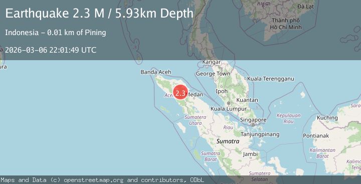
Earthquake Northern Sumatra, Indonesia
Fri, 06 Mar 2026 22:01:49 GMT
Time3 hours ago
Location
4.1699, 97.5092
Depth
5.9 KM
Event Summary
A 2.3 magnitude earthquake struck on Northern Sumatra, Indonesia, at Fri, 06 Mar 2026 22:01:49 GMT. Depth: 5.929451km. Reviewed by BMKG seismologists, this minor quake occurred at a magnitude type of M.
Magnitude
2.3
M
Source
BMKG
Intensity
-
Agency Reports
1 Sources| Source | Magnitude | Depth | Time |
|---|---|---|---|
| BMKGPrimary | 2.3 | 6 km | 3 hours ago |
Earthquake Details
ManualEvent IDbmg2026eopu
Tsunami PotentialNo
Magnitude TypeM
Nearest Places
- 2.3 km
- 2.4 km
- 2.7 km
- 3.8 km
- 3.9 km
Comments
Join the discussion about this event.
Latest Earthquakes
1.6Mag
Central Alaska
Time43 minutes ago
Depth0.24 km
SourceVYT (Automatic)
1.8Mag
Albania
Time47 minutes ago
Depth17.46 km
SourceVYT (Automatic)
2.3Mag
near the coast of Antofagasta, Chile
Time50 minutes ago
Depth21.00 km
SourceVYT (Automatic)
2.1Mag
12 km E of Barstow, Texas
Time50 minutes ago
Depth0.56 km
SourceUSGS (Automatic)
3.2Mag
western Texas
Time51 minutes ago
Depth0.00 km
SourceVYT (Automatic)
Nearby Earthquakes
3.1Mag
northern Sumatra, Indonesia
Time3 hours ago
Depth0.24 km
SourceVYT (Automatic)
2.9Mag
northern Sumatra, Indonesia
Time18 hours ago
Depth0.00 km
SourceVYT (Automatic)
2.2Mag
northern Sumatra, Indonesia
Time19 hours ago
Depth0.12 km
SourceVYT (Automatic)
2.7Mag
Northern Sumatra, Indonesia
Time1 day ago
Depth11.41 km
SourceBMKG
2.2Mag
Northern Sumatra, Indonesia
Time1 day ago
Depth26.53 km
SourceBMKG