Earthquake SOUTHERN YUKON TERRITORY, CANADA
Sat, 03 Jan 2026 05:48:20 GMT
Time6 hours ago
Location
60.5327, -140.1742
Depth
5.0 KM
Event Summary
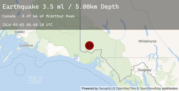
A 3.5 magnitude earthquake struck on SOUTHERN YUKON TERRITORY, CANADA, at Sat, 03 Jan 2026 05:48:20 GMT. Depth: 5km. Reviewed by NEIC seismologists, this minor quake occurred at a magnitude type of ml.
Magnitude
3.5
ml
Source
NEIC
Intensity
-
Agency Reports
1 Sources| Source | Magnitude | Depth | Time |
|---|---|---|---|
| NEICPrimary | 3.5 | 5 km | 6 hours ago |
Earthquake Details
AutomaticEvent IDemsc_20260103_0000083
Tsunami PotentialNo
Magnitude Typeml
Nearest Places
- McArthur Peak8.5 km
- Marker Lake10.5 km
- Mount Logan13.2 km
- Mount King George21.2 km
- Mount Queen Mary26.7 km
Comments
Join the discussion about this event.
Latest Earthquakes
0.5Mag
84 km NNW of Karluk, Alaska
Time6 hours ago
Depth2.80 km
SourceUSGS (Automatic)
3.5Mag
Java, Indonesia
Time6 hours ago
Depth13.23 km
SourceBMKG (Automatic)
1.1Mag
7 km ENE of Ridgecrest, CA
Time6 hours ago
Depth6.75 km
SourceUSGS (Automatic)
3.0Mag
ALBANIA
Time6 hours ago
Depth15.00 km
SourceEMSC (Automatic)
3.0Mag
ANTOFAGASTA, CHILE
Time7 hours ago
Depth135.80 km
SourceCSN (Automatic)