Earthquake SOUTHERN CALIFORNIA
Tue, 13 Jan 2026 20:20:28 GMT
Time1 day ago
Location
35.3442, -117.7915
Depth
5.0 KM
Event Summary
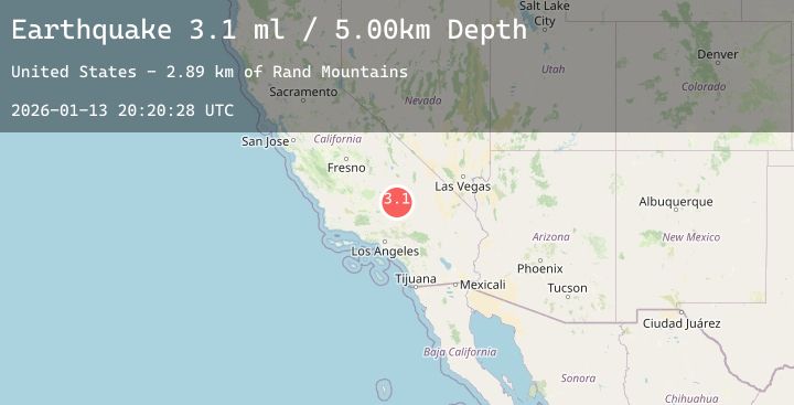
A 3.1 magnitude earthquake struck on SOUTHERN CALIFORNIA, at Tue, 13 Jan 2026 20:20:28 GMT. Depth: 5km. Reviewed by NEIC seismologists, this minor quake occurred at a magnitude type of ml.
Magnitude
3.1
ml
Source
NEIC
Intensity
-
Agency Reports
4 Sources| Source | Magnitude | Depth | Time |
|---|---|---|---|
| NEICPrimary | 2.8 | 5 km | 1 day ago |
| USGS | 3.1 | 5 km | 1 day ago |
| USGS | 1.4 | 3 km | 1 day ago |
| USGS | 1.1 | -0 km | 1 day ago |
Earthquake Details
AutomaticEvent IDemsc_20260113_0000298
Tsunami PotentialNo
Magnitude Typeml
Nearest Places
- Old Garlock4.7 km
- Garlock Station (historical)5.4 km
- Mesquite Springs5.5 km
- Rand Mountains5.6 km
- Mesquite Canyon6.0 km
Comments
Join the discussion about this event.
Latest Earthquakes
2.0Mag
74 km NW of Yakutat, Alaska
Time1 day ago
Depth16.00 km
SourceUSGS (Automatic)
2.9Mag
GREATER LOS ANGELES AREA, CALIF.
Time1 day ago
Depth13.90 km
SourceSCSN (Automatic)
3.6Mag
Sulawesi, Indonesia
Time1 day ago
Depth5.00 km
SourceBMKG (Automatic)
1.6Mag
WESTERN TURKEY
Time1 day ago
Depth7.00 km
SourceEMSC (Automatic)
2.4Mag
Java, Indonesia
Time1 day ago
Depth25.56 km
SourceBMKG (Automatic)