Earthquake OFF E. COAST OF N. ISLAND, N.Z.
Sat, 17 Jan 2026 06:59:18 GMT
Time1 hour ago
Location
-39.3954, 178.0986
Depth
26.4 KM
Event Summary
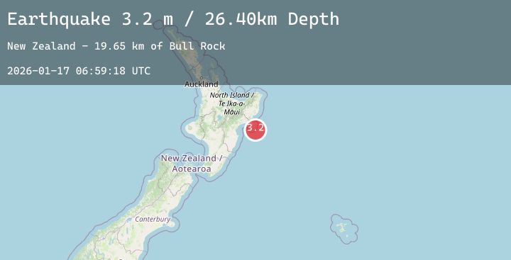
A 3.2 magnitude earthquake struck on OFF E. COAST OF N. ISLAND, N.Z., at Sat, 17 Jan 2026 06:59:18 GMT. Depth: 26.4km. Reviewed by GNS seismologists, this minor quake occurred at a magnitude type of m.
Magnitude
3.2
m
Source
GNS
Intensity
-
Agency Reports
1 Sources| Source | Magnitude | Depth | Time |
|---|---|---|---|
| GNSPrimary | 3.2 | 26 km | 1 hour ago |
Earthquake Details
AutomaticEvent IDemsc_20260117_0000075
Tsunami PotentialNo
Magnitude Typem
Nearest Places
- Bull Rock19.6 km
- Bull Rocks19.6 km
- Scott Shoal21.5 km
- Mahia Banks22.3 km
- Portland Island Lighthouse (historical)22.4 km
Comments
Join the discussion about this event.
Latest Earthquakes
2.3Mag
50 km SSW of Alcan Border, Alaska
Time1 hour ago
Depth5.00 km
SourceUSGS (Automatic)
2.1Mag
NORTHERN CALIFORNIA
Time1 hour ago
Depth3.10 km
SourceNC (Automatic)
3.0Mag
Northern Molucca Sea
Time2 hours ago
Depth110.39 km
SourceBMKG (Automatic)
5.3Mag
OFF EAST COAST OF KAMCHATKA
Time2 hours ago
Depth23.10 km
SourceNEIC (Automatic)
1.5Mag
35 km WSW of Ackerly, Texas
Time2 hours ago
Depth4.83 km
SourceUSGS (Automatic)
Nearby Earthquakes
No significant earthquakes nearby recently.