Earthquake 50 km SSW of Alcan Border, Alaska
Sat, 17 Jan 2026 07:02:02 GMT
Time1 hour ago
Location
62.2850, -141.6140
Depth
5.0 KM
Event Summary
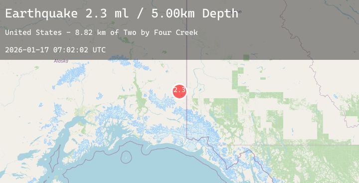
A 2.3 magnitude earthquake struck on 50 km SSW of Alcan Border, Alaska, at Sat, 17 Jan 2026 07:02:02 GMT. Depth: 5km. Reviewed by USGS seismologists, this minor quake occurred at a magnitude type of ml.
Magnitude
2.3
ml
Source
USGS
Intensity
-
Agency Reports
1 Sources| Source | Magnitude | Depth | Time |
|---|---|---|---|
| USGSPrimary | 2.3 | 5 km | 1 hour ago |
Earthquake Details
AutomaticEvent IDusgs_ak2026bdxpuf
Tsunami PotentialNo
Magnitude Typeml
Nearest Places
- Two by Four Creek8.8 km
- King City8.9 km
- East Fork Snag Creek9.1 km
- Sheep Creek10.3 km
- Needle Peak11.4 km
Comments
Join the discussion about this event.
Latest Earthquakes
2.1Mag
NORTHERN CALIFORNIA
Time1 hour ago
Depth3.10 km
SourceNC (Automatic)
3.0Mag
Northern Molucca Sea
Time2 hours ago
Depth110.39 km
SourceBMKG (Automatic)
5.3Mag
OFF EAST COAST OF KAMCHATKA
Time2 hours ago
Depth23.10 km
SourceNEIC (Automatic)
1.5Mag
35 km WSW of Ackerly, Texas
Time2 hours ago
Depth4.83 km
SourceUSGS (Automatic)
1.1Mag
6 km NNW of The Geysers, CA
Time2 hours ago
Depth1.87 km
SourceUSGS (Automatic)
Nearby Earthquakes
No significant earthquakes nearby recently.