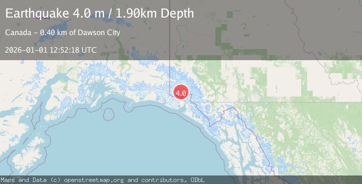
Earthquake SOUTHERN YUKON TERRITORY, CANADA
Thu, 01 Jan 2026 12:52:18 GMT
Time1 month ago
Location
60.4510, -139.9850
Depth
1.9 KM
Event Summary
A 4.0 magnitude earthquake struck on SOUTHERN YUKON TERRITORY, CANADA, at Thu, 01 Jan 2026 12:52:18 GMT. Depth: 1.9km. Reviewed by AK seismologists, this light quake occurred at a magnitude type of m.
Magnitude
4.0
m
Source
AK
Intensity
-
Agency Reports
2 Sources| Source | Magnitude | Depth | Time |
|---|---|---|---|
| AKPrimary | 4.0 | 2 km | 1 month ago |
| NEIC | 3.9 | 5 km | 1 month ago |
Earthquake Details
AutomaticEvent IDemsc_AK_20260101_0000209
Tsunami PotentialNo
Magnitude Typem
Nearest Places
- Marker Lake6.8 km
- Mount King George14.0 km
- Mount Vancouver18.8 km
- McArthur Peak21.3 km
- Corwin Cliffs24.1 km
Comments
Join the discussion about this event.
Latest Earthquakes
2.6Mag
Java, Indonesia
Time3 hours ago
Depth16.25 km
SourceBMKG
1.0Mag
Southeastern Alaska
Time3 hours ago
Depth0.00 km
SourceVYT (Automatic)
1.9Mag
4 km NNW of The Geysers, CA
Time3 hours ago
Depth2.14 km
SourceUSGS (Automatic)
2.3Mag
Tarapaca, Chile
Time3 hours ago
Depth114.14 km
SourceVYT (Automatic)
2.1Mag
Southern Alaska
Time3 hours ago
Depth67.26 km
SourceVYT (Automatic)
Nearby Earthquakes
3.2Mag
SOUTHERN YUKON TERRITORY, CANADA
Time1 month ago
Depth5.00 km
SourceNEIC (Automatic)
2.7Mag
Southeastern Alaska
Time6 days ago
Depth0.00 km
SourceVYT (Automatic)
2.9Mag
SOUTHERN YUKON TERRITORY, CANADA
Time1 month ago
Depth5.00 km
SourceNEIC (Automatic)
3.0Mag
SOUTHERN YUKON TERRITORY, CANADA
Time1 month ago
Depth10.70 km
SourceNEIC (Automatic)
2.8Mag
SOUTHERN YUKON TERRITORY, CANADA
Time1 month ago
Depth10.00 km
SourceNEIC (Automatic)