Earthquake SOUTHERN YUKON TERRITORY, CANADA
Fri, 09 Jan 2026 22:28:26 GMT
Time1 month ago
Location
60.5330, -139.9070
Depth
5.0 KM
Event Summary
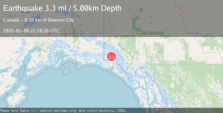
A 3.3 magnitude earthquake struck on SOUTHERN YUKON TERRITORY, CANADA, at Fri, 09 Jan 2026 22:28:26 GMT. Depth: 5km. Reviewed by AK seismologists, this minor quake occurred at a magnitude type of ml.
Magnitude
3.3
ml
Source
AK
Intensity
-
Agency Reports
1 Sources| Source | Magnitude | Depth | Time |
|---|---|---|---|
| AKPrimary | 3.3 | 5 km | 1 month ago |
Earthquake Details
AutomaticEvent IDemsc_AK_20260109_0000364
Tsunami PotentialNo
Magnitude Typeml
Nearest Places
- Marker Lake5.0 km
- Mount King George6.5 km
- Mount Queen Mary14.5 km
- McArthur Peak18.6 km
- Mount Vancouver22.5 km
Comments
Join the discussion about this event.
Latest Earthquakes
3.2Mag
Antofagasta, Chile
Time8 minutes ago
Depth124.27 km
SourceVYT (Automatic)
1.7Mag
Kenai Peninsula, Alaska
Time14 minutes ago
Depth28.44 km
SourceVYT (Automatic)
1.7Mag
Tarapaca, Chile
Time17 minutes ago
Depth6.47 km
SourceVYT (Automatic)
1.9Mag
Central Alaska
Time19 minutes ago
Depth81.18 km
SourceVYT (Automatic)
1.2Mag
21 km ENE of Little Lake, CA
Time20 minutes ago
Depth0.90 km
SourceUSGS (Automatic)
Nearby Earthquakes
1.8Mag
Southeastern Alaska
Time6 days ago
Depth1.71 km
SourceVYT (Automatic)
4.0Mag
SOUTHERN YUKON TERRITORY, CANADA
Time1 month ago
Depth5.00 km
SourceNEIC (Automatic)
2.6Mag
SOUTHERN YUKON TERRITORY, CANADA
Time1 month ago
Depth5.00 km
SourceNEIC (Automatic)
3.0Mag
SOUTHERN YUKON TERRITORY, CANADA
Time2 months ago
Depth15.80 km
SourceAK (Automatic)
2.9Mag
SOUTHERN YUKON TERRITORY, CANADA
Time1 month ago
Depth5.00 km
SourceNEIC (Automatic)