Earthquake SOUTHERN YUKON TERRITORY, CANADA
Fri, 16 Jan 2026 01:43:22 GMT
Time1 month ago
Location
60.5278, -139.8930
Depth
5.0 KM
Event Summary
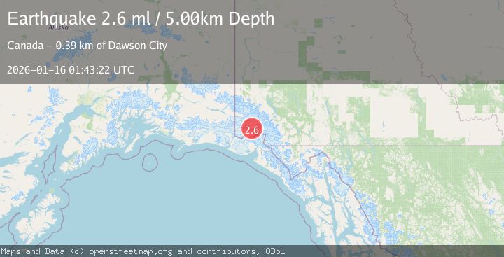
A 2.6 magnitude earthquake struck on SOUTHERN YUKON TERRITORY, CANADA, at Fri, 16 Jan 2026 01:43:22 GMT. Depth: 5km. Reviewed by NEIC seismologists, this minor quake occurred at a magnitude type of ml.
Magnitude
2.6
ml
Source
NEIC
Intensity
-
Agency Reports
1 Sources| Source | Magnitude | Depth | Time |
|---|---|---|---|
| NEICPrimary | 2.6 | 5 km | 1 month ago |
Earthquake Details
AutomaticEvent IDemsc_NEIC_20260116_0000019
Tsunami PotentialNo
Magnitude Typeml
Nearest Places
- Marker Lake5.5 km
- Mount King George5.8 km
- Mount Queen Mary14.4 km
- McArthur Peak19.6 km
- Mount Vancouver21.6 km
Comments
Join the discussion about this event.
Latest Earthquakes
1.8Mag
Southern Alaska
Time2 minutes ago
Depth51.51 km
SourceVYT (Automatic)
1.9Mag
11 km E of Pāhala, Hawaii
Time6 minutes ago
Depth30.61 km
SourceUSGS (Automatic)
3.2Mag
Antofagasta, Chile
Time10 minutes ago
Depth124.27 km
SourceVYT (Automatic)
1.7Mag
Kenai Peninsula, Alaska
Time16 minutes ago
Depth28.44 km
SourceVYT (Automatic)
1.7Mag
Tarapaca, Chile
Time19 minutes ago
Depth6.47 km
SourceVYT (Automatic)
Nearby Earthquakes
1.8Mag
Southeastern Alaska
Time6 days ago
Depth1.71 km
SourceVYT (Automatic)
2.2Mag
Southeastern Alaska
Time5 days ago
Depth0.12 km
SourceVYT (Automatic)
3.3Mag
SOUTHERN YUKON TERRITORY, CANADA
Time1 month ago
Depth5.00 km
SourceAK (Automatic)
4.0Mag
SOUTHERN YUKON TERRITORY, CANADA
Time1 month ago
Depth5.00 km
SourceNEIC (Automatic)
2.5Mag
SOUTHERN YUKON TERRITORY, CANADA
Time3 weeks ago
Depth5.00 km
SourceCN (Automatic)